
Roads
Street/Road: Unspecified
Marinas and Harbors
Buildings
Hazardous Materials
Beach
State: Accessible
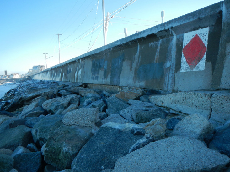
Coastal Structures
Specific Impacts:
- Splashover
- Undermined bulkheads/seawalls
Comments: Signs of undermining the revetment, revetment broken apart, partial footing exposed
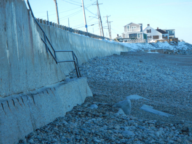
Natural Resources
Specific Impacts:
- Eroded beach
Comments: Cobble pushed up beach and acreated
Current Response
You must be logged in to post a comment.