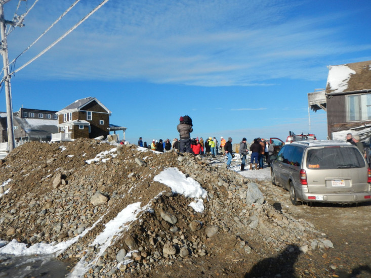
Roads
Street/Road: Unspecified
Specific Impacts:
- Splashover
- Impassable (utility lines)
- Impassable (overwash)
- Impassable (other)
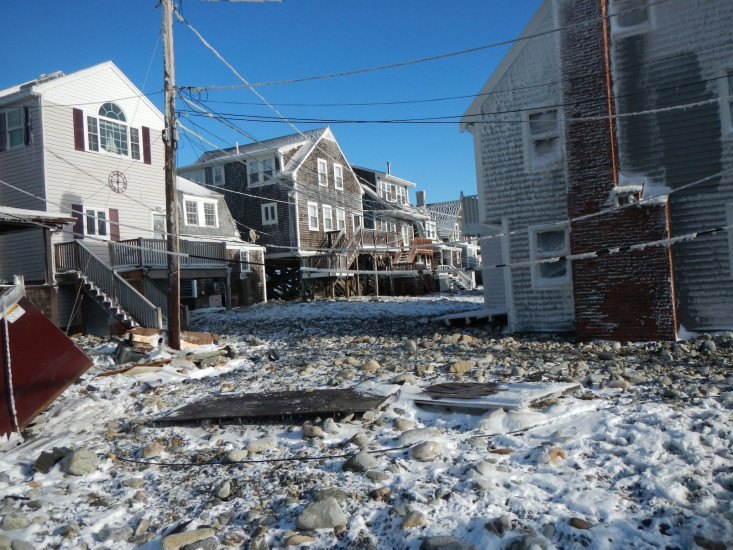
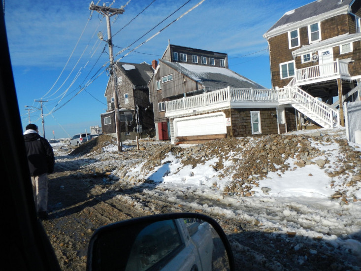
Specific road: cobble and debris
Marinas and Harbors
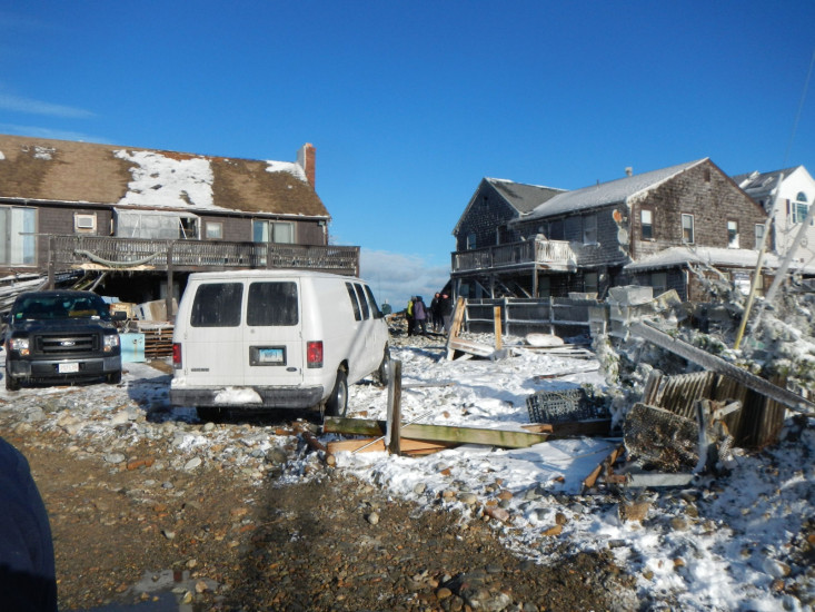
Buildings
Specific Impacts:
- Water flow around or under buildings
- Damaged stairs/decks
- Damaged windows/sidings
- Displaced/destroyed
Comments: Reportedly 2 houses destroyed, 3 houses condemned, possible dozens damaged Ocean street from North to Franklin and side streets
Hazardous Materials
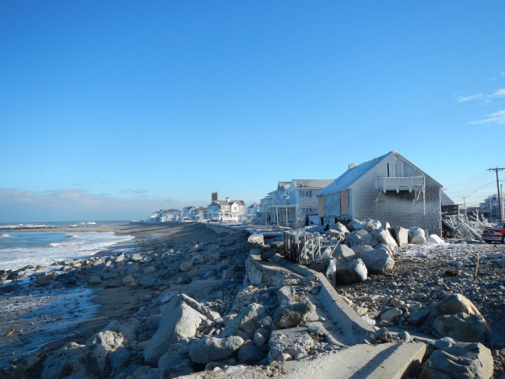
Beach
State: Inaccessible
Comments: Too much debris and ice unsafe
Coastal Structures
Specific Impacts:
- Splashover
- Leaning bulkheads/seawalls
- Collapsed bulkheads/seawalls
Comments: at least 50 foot section collapsed, other areas look displaced, will need further review, revetments unraveled
Natural Resources
Specific Impacts:
- Eroded beach
Current Response
You must be logged in to post a comment.