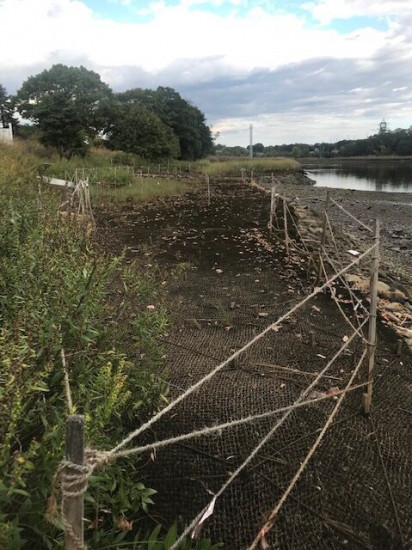
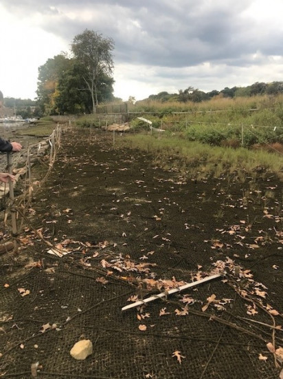
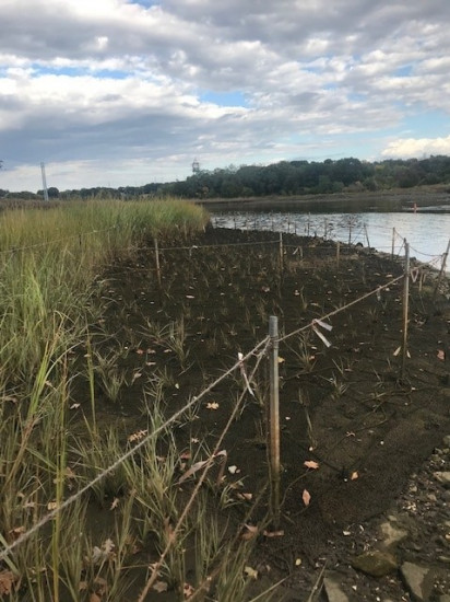
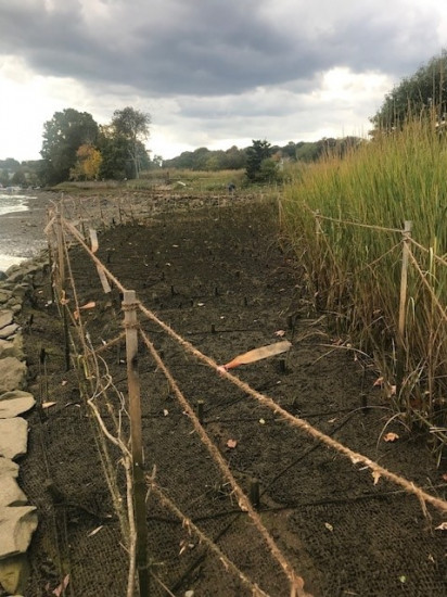
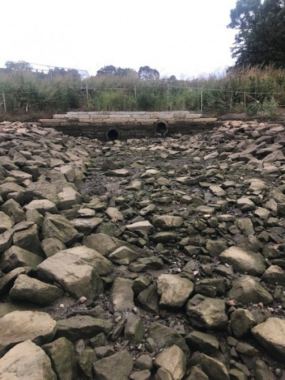
Photo description: 1. upper marsh looking east 2. upper marsh looking west 3. lower marsh looking east 4 lower marsh looking west 5. intertidal
Coastal resources in/directly adjacent to project footprint:
- coastal bank
- salt marsh (estuarine/protected)
- intertidal (rock)
- tidal river
Project elevation:
- between MHW and mean low water (MLW)
Coastal infrastructure present at site:
- bulkhead/seawall
- culvert
- multi-use path or road
Site stability:
- stable
Vegetative cover of project area:
- moderate (25-75%)
Dominant vegetative type within project area: grasses
Displaced/unanchored and degraded project materials:
- none
You must be logged in to post a comment.