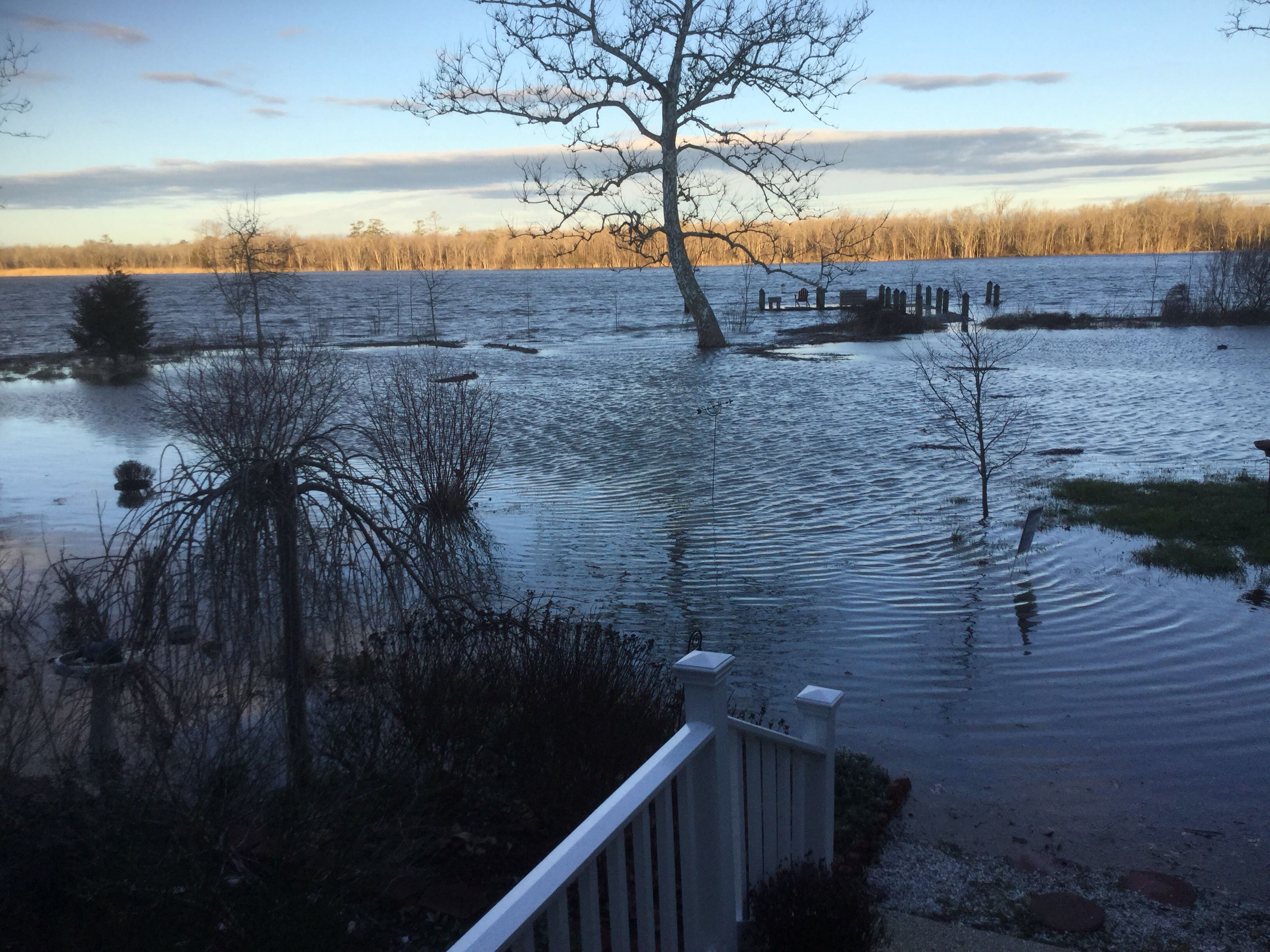
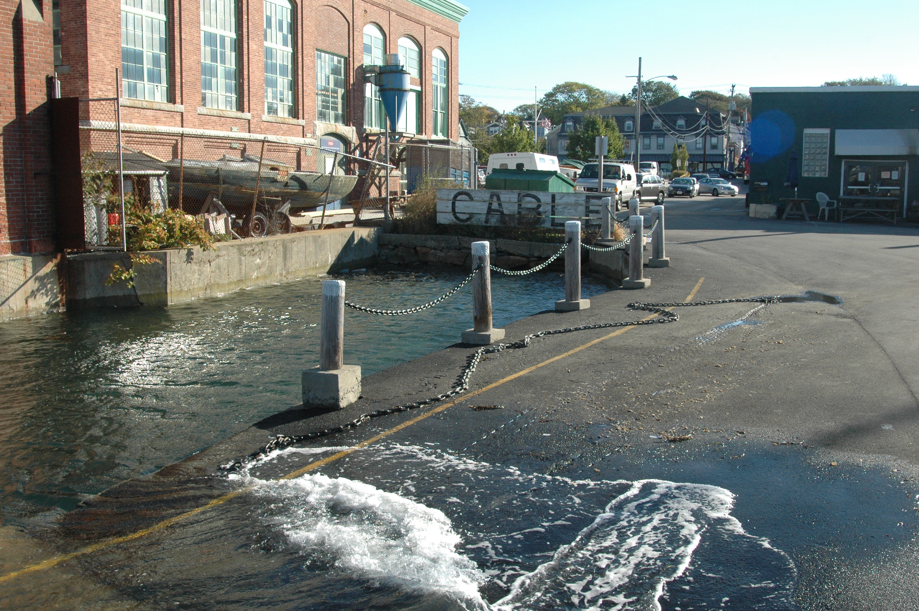
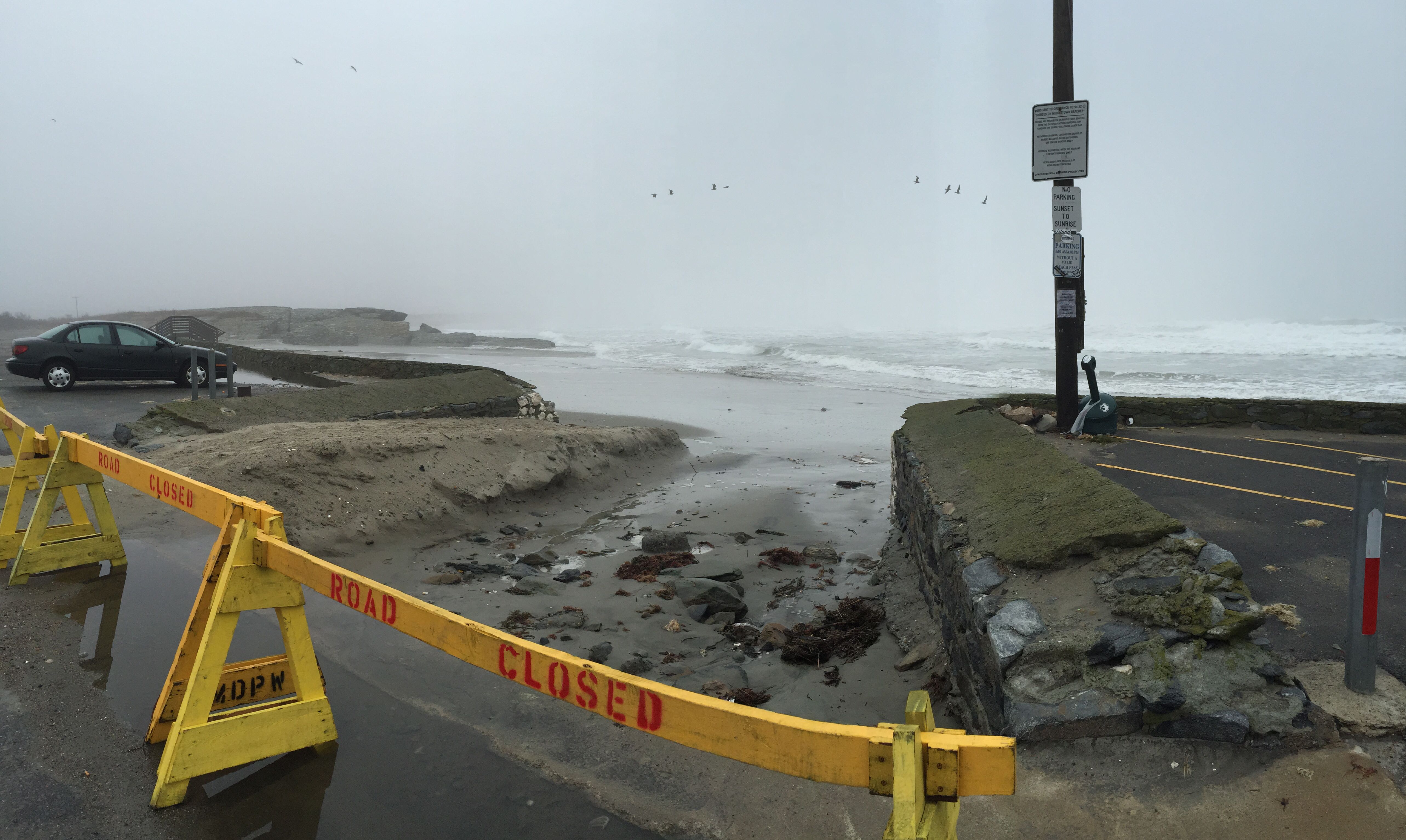
King Tides are unusually high tides and, when combined with rain or wind, can cause excessive coastal flooding in susceptible areas.
While tide gauge data will give us water levels, it’s harder to understand the real-life implications of tidal flooding.
MyCoast enables state employees and “citizen scientists” to submit King Tide flooding photographs and associated location data. Our mobile apps make the submission process straightforward, and our server infrastructure allows state agencies to search, view and download this data easily.


