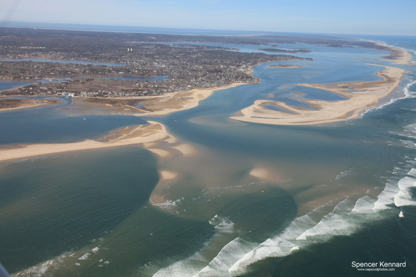
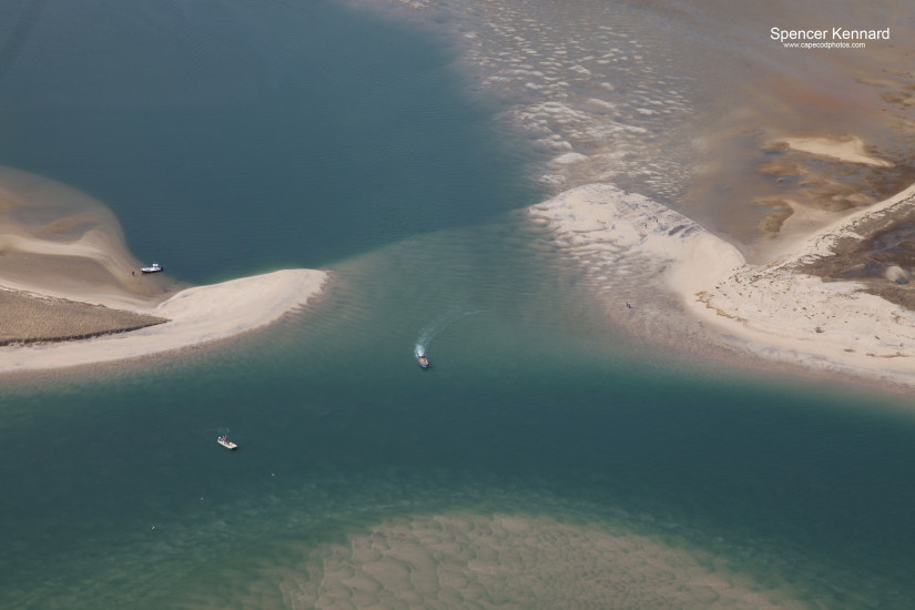
Chatham, MA (Lighthouse Beach, Chatham)
Barnstable County
Storm Report
04/03/2017 | 11:20 am
Impacts Reported
Roads
Street/Road: Unspecified
Marinas and Harbors
Buildings
Hazardous Materials
Beach
State: Accessible
Coastal Structures
Natural Resources
Specific Impacts:
- Eroded beach
- Eroded dune
- Overwashed beach/dune
- Breached barrier beach
- Wrack on wetlands
Comments: Narrow section of beach located on Chatham's South Beach referred to as Lighthouse Beach was breached during the April 1 storm. New breach has water flowing at all phase of tide. Water flow is primarily (or totally) from north to south over the new breach toward Nantucket Sound.
Current Response
Response:
- None
You must be logged in to post a comment.