Narrow Ln

Charlestown, RI


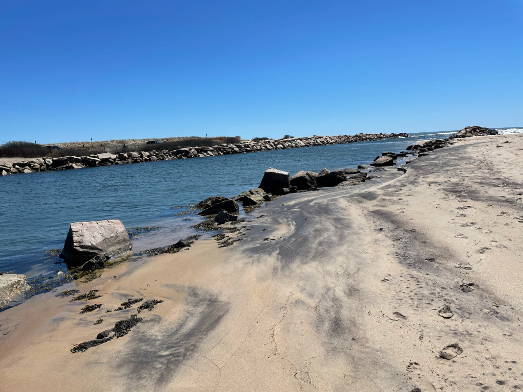
Photo description: West side of Charlestown breachway showing beach erosion

Coastal resources in/directly adjacent to project footprint:

  • beach (sandy)

Project elevation:

  • between MHW and mean low water (MLW)

Coastal infrastructure present at site:

  • bulkhead/seawall

Site stability:

  • eroding

Vegetative cover of project area:

  • none

Human impacts at project site:

  • vehicles

Marine-related impacts:

  • storm damage


04/16/2024 | 12:34 pm

Tidal Overview

3 hours 1 minutes before high tide

Data from Point Judith, Harbor of Refuge (7.5 miles away)

High Tide (Predicted): 3:35 pm, 2.5'

Observed Predicted water level Report time

Weather Overview

Wind Speed: 10.7 MPH

Wind Direction: WNW (283°)

Temperature: 64℉

Rainfall (Calendar Day): 0"

Rainfall (Past 24 Hours): 0"

(Click here for full weather details)


You must be logged in to post a comment.