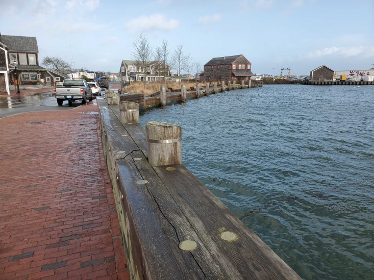
Nantucket, MA (Easy Street and Oak Street)
Nantucket County
Storm Report
12/23/2022 | 10:07 am
Impacts Reported
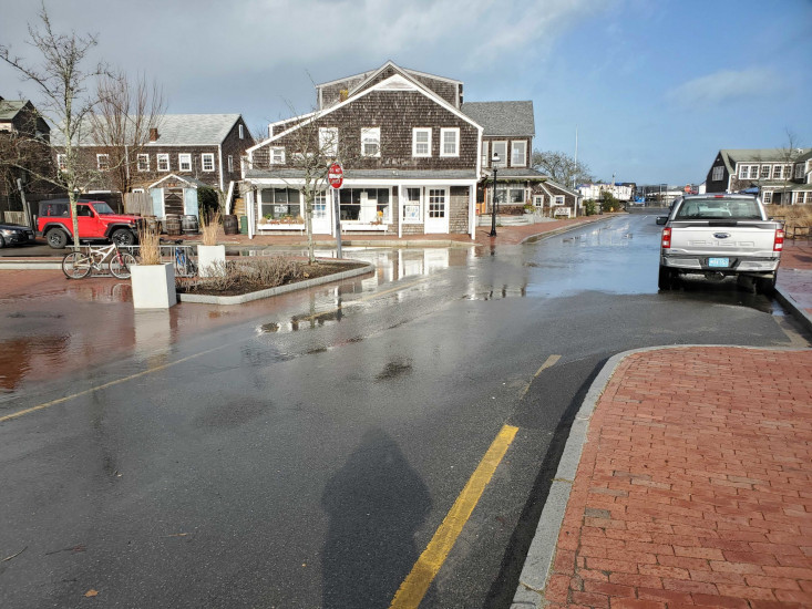

Roads
Street/Road: Unspecified
Specific Impacts:
- Impacted, but passable
Comments: About 2 inches. Starting to fill with harbor water 1 hour and 20 mins before high tide
Marinas and Harbors
Buildings
Hazardous Materials
Beach
State: Accessible
Coastal Structures
Natural Resources
Current Response
You must be logged in to post a comment.