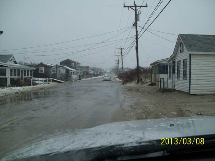
Roads
Street/Road: Unspecified
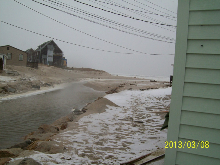
Specific Impacts:
- Impassable (flood water)
- Impassable (overwash)
- Impassable (other)
Specific road: boards with nails
Marinas and Harbors
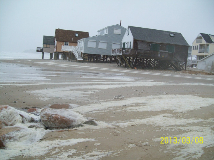
Buildings
Street: Taylor Avenue
Specific Impacts:
- Damaged walls/roofs
- Damaged windows/sidings
- Water flow around or under buildings
Hazardous Materials
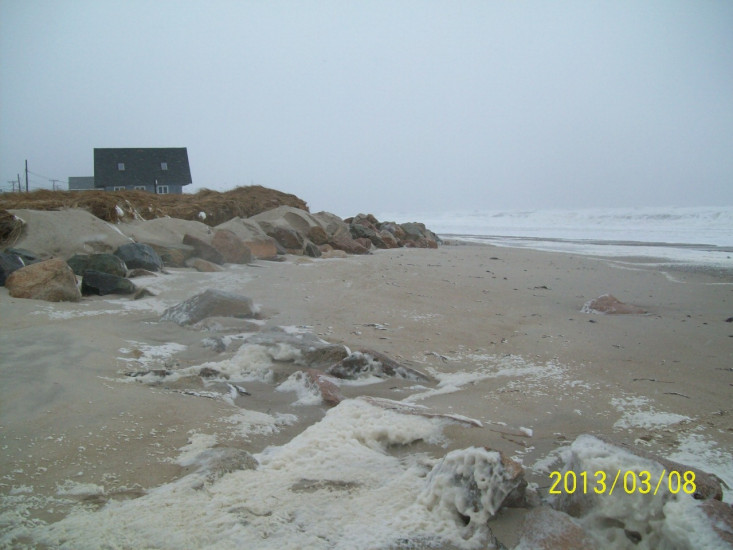
Beach
State: Accessible
Coastal Structures
Specific Impacts:
- Splashover
Natural Resources
Specific Impacts:
- Eroded beach
- Overwashed beach/dune
Current Response
Response:
- None
You must be logged in to post a comment.
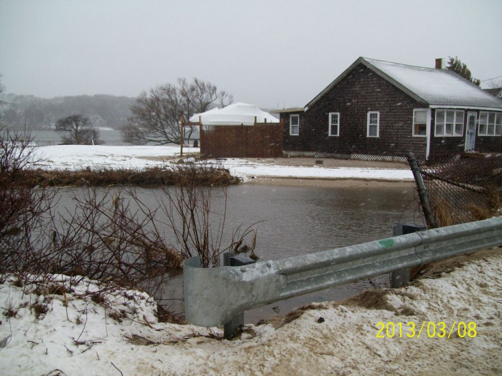
"Barlett Brook filled 3/4th with beach sand (concern with Bartlett Pond backing up. DPW will respond to dig out. Flooding across entire road. Septic covered with sand."