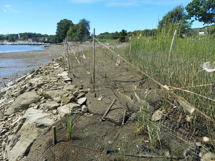
Photo description: Downstream marsh
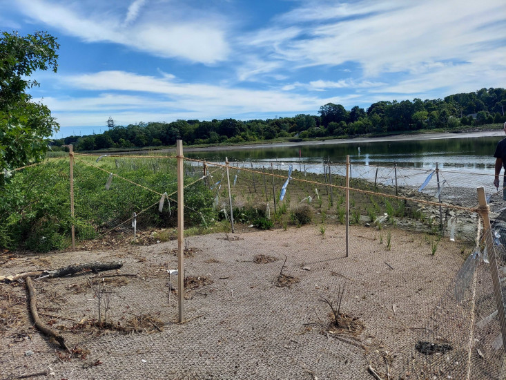
Coastal resources in/directly adjacent to project footprint:
- coastal bank
- salt marsh (estuarine/protected)
- intertidal (mud)
- intertidal (rock)
- tidal river
Project elevation:
- between MHW and mean low water (MLW)
Coastal infrastructure present at site:
- other
Type of other obstruction: Stormwater outfall pipes, head and wing walls, sill
Site stability:
- stable
Vegetative cover of project area:
- sparse (<25%)
Dominant vegetative type within project area: grasses
Displaced/unanchored and degraded project materials:
- other
Other displaced/unanchored materials: Reflective tape
You must be logged in to post a comment.
"Less loss of grass plugs in downstream marsh compared to upstream marsh. Some growth of sea lavender in area adjacent to wingwall"