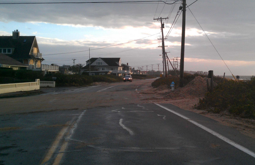
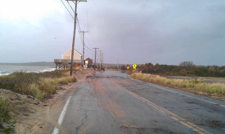
Roads
Street/Road: Unspecified
Specific Impacts:
- Splashover
- Impacted, but passable
Marinas and Harbors
Buildings
Hazardous Materials
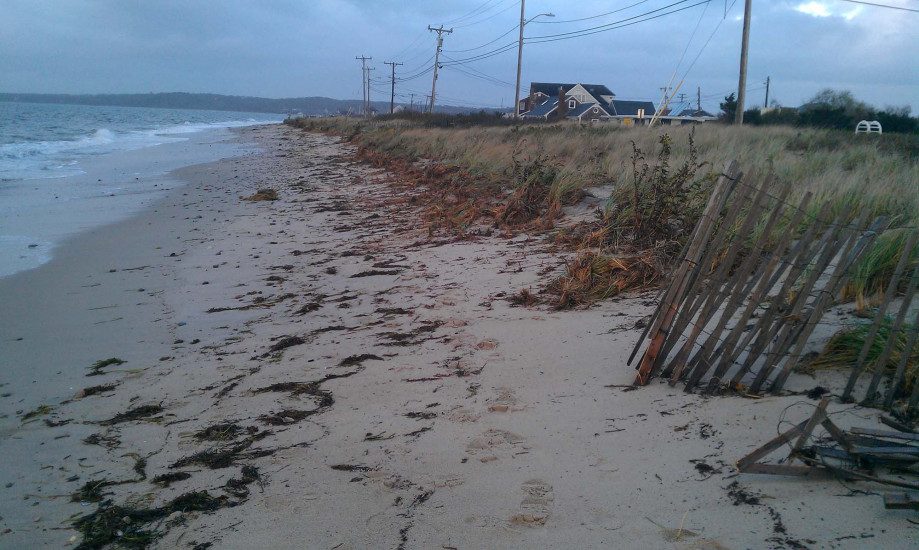
Beach
State: Inaccessible
Coastal Structures
Specific Impacts:
- Splashover
Natural Resources
Specific Impacts:
- Damaged sand fencing
- Eroded beach
- Overwashed beach/dune
Current Response
Response:
- Dune building
You must be logged in to post a comment.