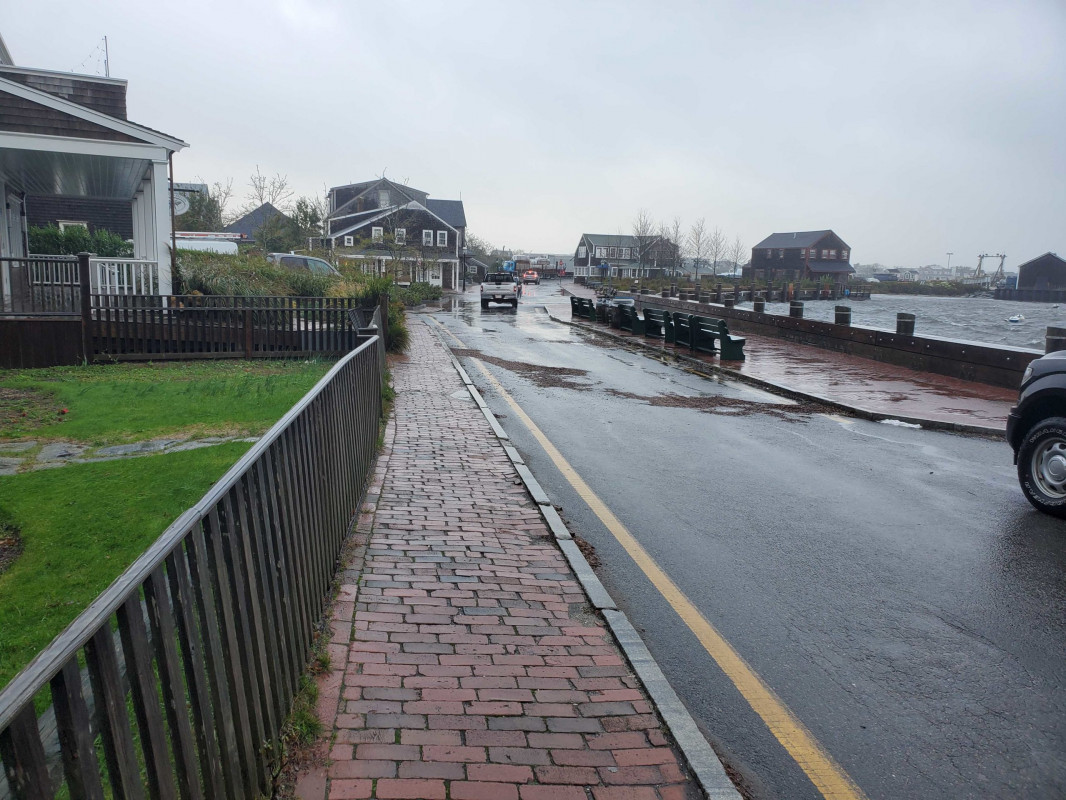
Nantucket, MA (Easy Street)

Nantucket County

Impacts Reported


Roads

Street/Road: Unspecified

Specific Impacts:

  • Impassable (flood water)
  • Impassable (overwash)

Comments: Tide line suggests that there was about 2.5 to 3 feet of water on the road at high tide. Since dicipates and is now passable.

Marinas and Harbors
Buildings
Hazardous Materials
Beach

State: Accessible

Coastal Structures
Natural Resources
Current Response

10/27/2021 | 8:44 am

Tidal Overview

4 hours 44 minutes after high tide

Data from NANTUCKET (0.1 miles away)

Water Level (at time of report): 8:44 am, 4.3'

High Tide (Predicted): 5:43 am, 2.6'

High Tide (Observed): 4:00 am, 6'

Observed Predicted water level Report time

Weather Overview

Wind Speed: 41.2 MPH

Wind Direction: NNE (30°)

Temperature: 60℉

Rainfall (Calendar Day): 0.289"

Rainfall (Past 24 Hours): 1.45"

(Click here for full weather details)


You must be logged in to post a comment.