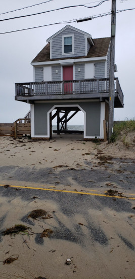
Falmouth, MA (Surf Drive, Falmouth, MA)
Barnstable County
Storm Report
08/22/2021 | 2:56 pm
Impacts Reported


Roads
Street/Road: Unspecified
Specific Impacts:
- Splashover
- Impassable (other)
Specific road: Police closed the road because of flooding earlier in morning along two portions of the road.
Comments: Police closed Surf Drive because of flooding earlier in morning along two portions of the road.
Marinas and Harbors
Buildings
Hazardous Materials
Beach
State: Accessible
Coastal Structures
Natural Resources
Specific Impacts:
- Damaged sand fencing
- Overwashed beach/dune
Comments: some overwash across beach on to road at this location and two others.
Current Response
Response:
- None
You must be logged in to post a comment.