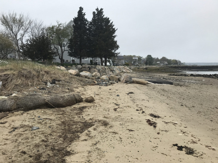
Photo description: GB-NLS-2 Formerly lower coir log/salt marsh
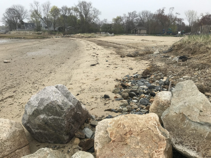
Coastal resources in/directly adjacent to project footprint:
- beach (sandy)
Project elevation:
- between MHW and mean low water (MLW)
Coastal infrastructure present at site:
- multi-use path or road
Site stability:
- accreting
Vegetative cover of project area:
- none
Displaced/unanchored and degraded project materials:
- none
Marine-related impacts:
- wrack
You must be logged in to post a comment.
"GB-NLS-2 Formerly lower coir log/salt marsh. Sand beginning to build up, covering exposed rock that was visible in 12-20-2020 monitoring report."