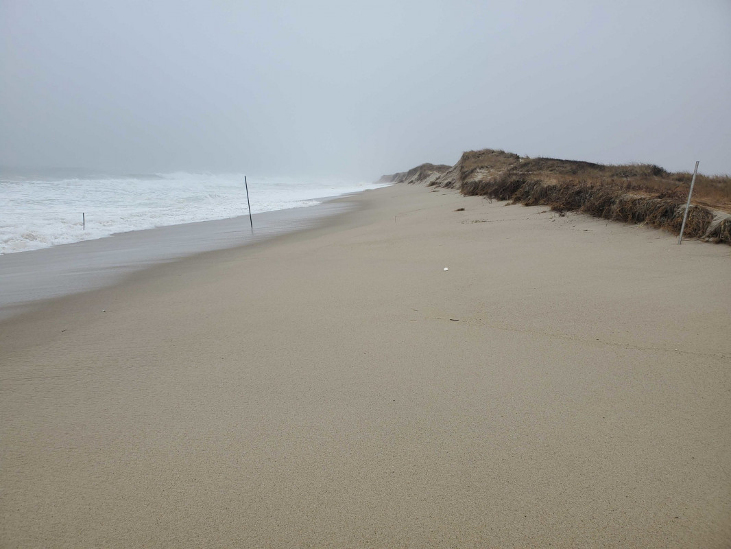
Nantucket, MA (South of sewer beds)

Nantucket County

Impacts Reported


Roads

Street/Road: Unspecified

Marinas and Harbors
Buildings
Hazardous Materials
Beach

State: Inaccessible

Comments: Continued erosion. About 25 feet in this event

Coastal Structures
Natural Resources

Specific Impacts:

  • Eroded dune

Current Response

02/02/2021 | 11:25 am

Tidal Overview

3 hours 29 minutes before high tide

Data from NANTUCKET (3.2 miles away)

Water Level (at time of report): 11:25 am, 3.7'

High Tide (Predicted): 3:42 pm, 3.3'

High Tide (Observed): 2:54 pm, 5.6'

Observed Predicted water level Report time

Weather Overview

Wind Speed: 18.3 MPH

Wind Direction: N (360°)

Temperature: 43℉

Rainfall (Calendar Day): 0"

Rainfall (Past 24 Hours): 1.05"

(Click here for full weather details)


You must be logged in to post a comment.