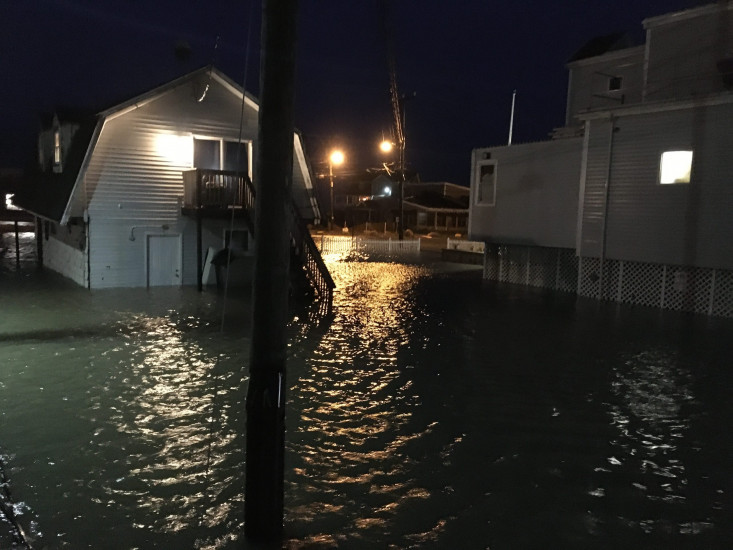
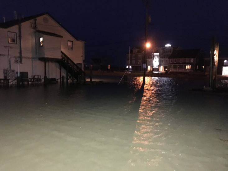
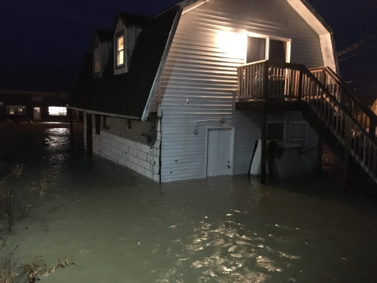
Marshfield, MA (Esplanade, Brant Rock, Marshfield)
Plymouth County
Storm Report
02/02/2021 | 5:33 pm
Impacts Reported
Roads
Street/Road: Unspecified
Specific Impacts:
- Impassable (flood water)
Comments: Significant flooding due to overwash.
Marinas and Harbors
Buildings
Specific Impacts:
- Water flow around or under buildings
Hazardous Materials
Beach
State: Accessible
Coastal Structures
Natural Resources
Current Response
Response:
- Other
Specific response: Access to flooded area restricted by Town.
You must be logged in to post a comment.