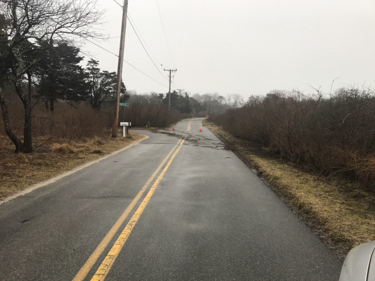
Roads
Street/Road: Unspecified
Specific Impacts:
- Impassable (flood water)
Comments: Scateree Road flooded during nightime high tide.
Marinas and Harbors
Buildings
Hazardous Materials
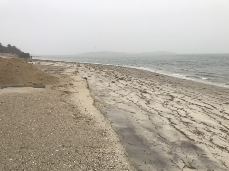
Beach
State: Accessible
Coastal Structures
Natural Resources
Specific Impacts:
- Eroded beach
- Eroded dune
Comments: Minor erosion of beach/dune.
Current Response
Response:
- None
You must be logged in to post a comment.