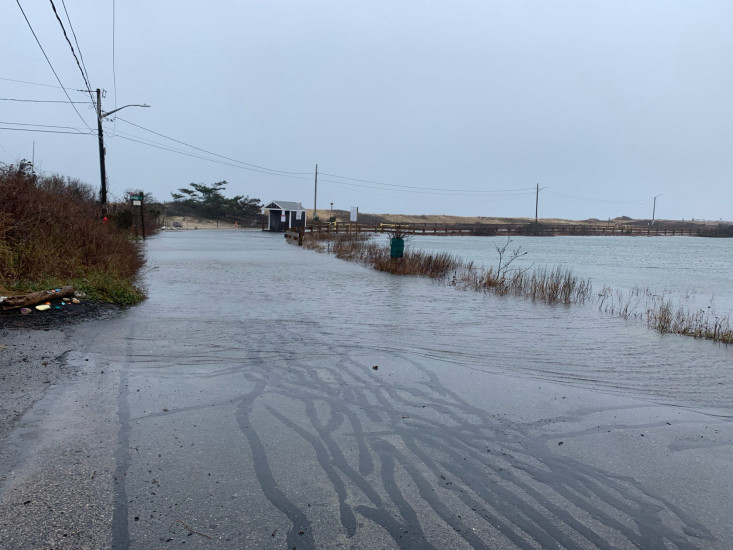
Roads
Street/Road: Unspecified
Specific Impacts:
- Impassable (flood water)
- Impassable (overwash)
Marinas and Harbors
Buildings
Hazardous Materials
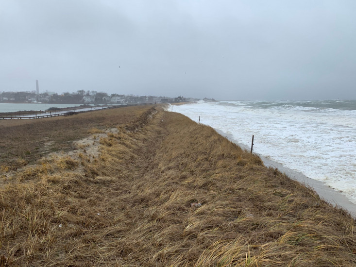
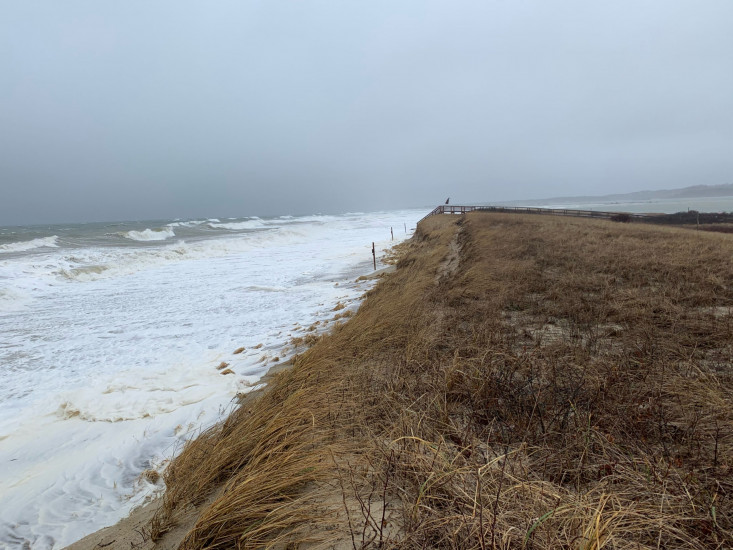
Beach
State: Inaccessible
Comments: Erosion of beach and dune
Coastal Structures
Natural Resources
Specific Impacts:
- Damaged sand fencing
- Eroded beach
- Eroded dune
- Overwashed beach/dune
- Wrack on wetlands
Current Response
Response:
- Other
Specific response: Police blocking off access through flooded parking lot
You must be logged in to post a comment.