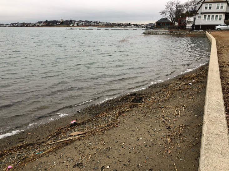
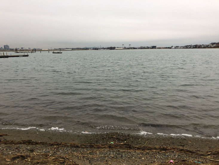
Photo description: About 1 hour before snow storm. Donovan’s Beach, Winthrop MA
Coastal resources in/directly adjacent to project footprint:
- beach (mixed sediment)
Coastal infrastructure present at site:
- bulkhead/seawall
Site stability:
- unknown
Vegetative cover of project area:
- sparse (<25%)
Dominant vegetative type within project area: grasses
Displaced/unanchored and degraded project materials:
- none
Human impacts at project site:
- other
Other human impacts: Trash
You must be logged in to post a comment.