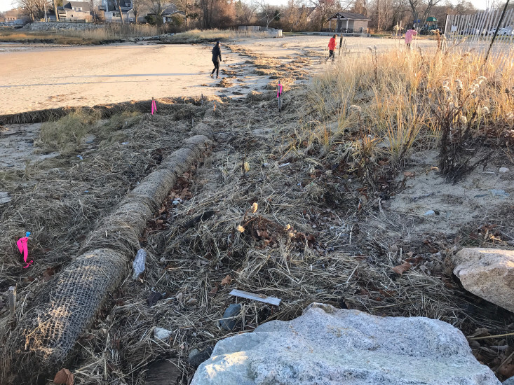
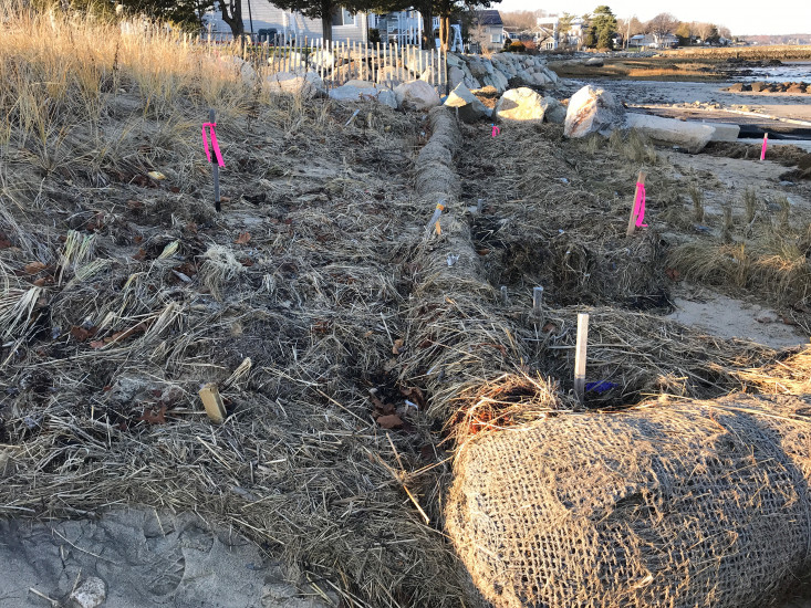
Photo description: GB-NLS-3: Upper coir log/toe of dune.
Coastal resources in/directly adjacent to project footprint:
- dune
Project elevation:
- above mean high water (MHW)
Coastal infrastructure present at site:
- groin/jetty
Site stability:
- eroding
Vegetative cover of project area:
- sparse (<25%)
Dominant vegetative type within project area: grasses
Marine-related impacts:
- wrack
- storm damage
You must be logged in to post a comment.
"GB-NLS-3: Upper coir log/toe of dune. Fall 2019 seasonal monitoring/pre-storm monitoring."