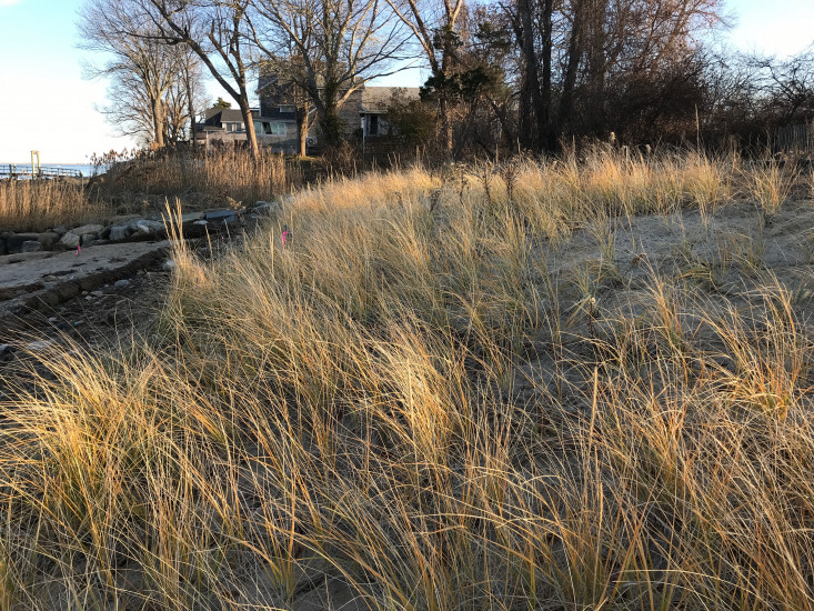
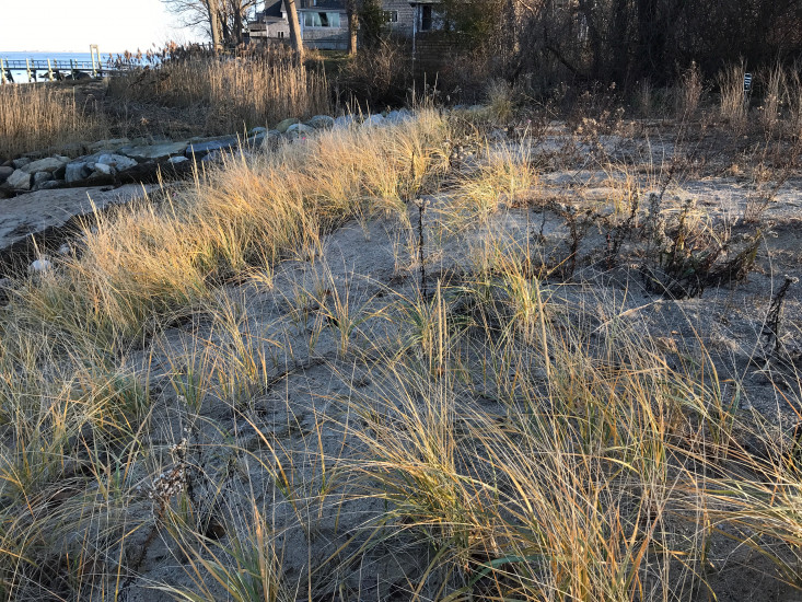
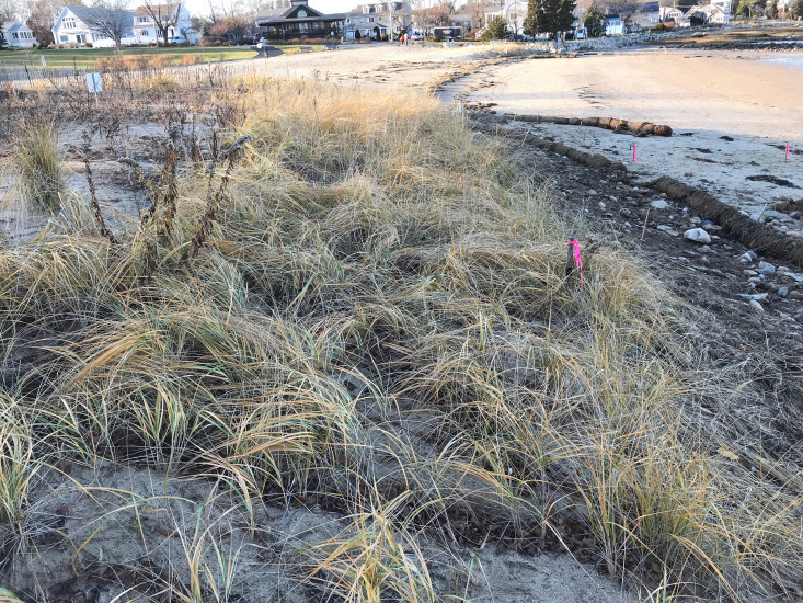
Photo description: GB-SLS-4: Upper dune face, crest of dune.
Coastal resources in/directly adjacent to project footprint:
- dune
Project elevation:
- above mean high water (MHW)
Coastal infrastructure present at site:
- groin/jetty
Site stability:
- stable
Vegetative cover of project area:
- moderate (25-75%)
Dominant vegetative type within project area: grasses
Displaced/unanchored and degraded project materials:
- none
Human impacts at project site:
- runoff
You must be logged in to post a comment.
"GB-SLS-4: Upper dune face, crest of dune. Fall 2019 seasonal monitoring/pre-storm monitoring. Beach grass prevalent. Some shrubs present on dune crest."