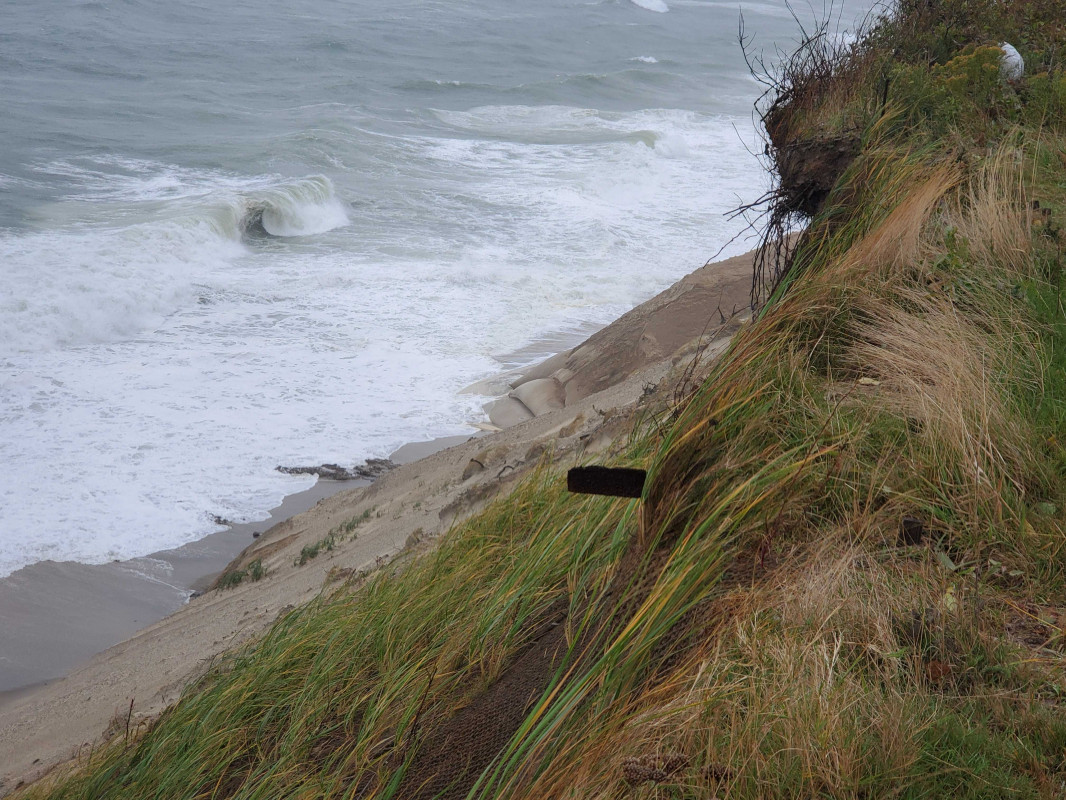
Nantucket, MA (Baxter road geotubes)

Nantucket County

Impacts Reported


Roads

Street/Road: Unspecified

Marinas and Harbors
Buildings
Hazardous Materials
Beach

State: Accessible

Coastal Structures

Comments: Sand on geotubes base is gone.

Natural Resources
Current Response

10/11/2019 | 2:01 pm

Tidal Overview

2 hours 37 minutes after high tide

Data from NANTUCKET (7.1 miles away)

Water Level (at time of report): 2:01 pm, 4.2'

High Tide (Predicted): 11:30 am, 3.1'

High Tide (Observed): 11:24 am, 5'

Observed Predicted water level Report time

Weather Overview

Wind Speed: 29.6 MPH

Wind Direction: NNE (31°)

Temperature: 57℉

Rainfall (Calendar Day): 0"

Rainfall (Past 24 Hours): 1.48"

(Click here for full weather details)


You must be logged in to post a comment.