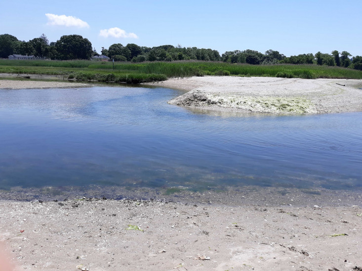
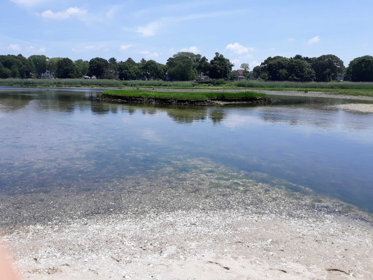
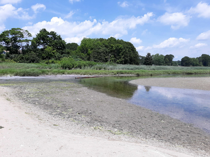
Coastal resources in/directly adjacent to project footprint:
- beach (sandy)
- coastal bank
- salt marsh (fronting beach)
- intertidal (mud)
- intertidal (sand)
- subtidal
Site stability:
- eroding
Vegetative cover of project area:
- moderate (25-75%)
Dominant vegetative type within project area: grasses
Displaced/unanchored and degraded project materials:
- other
Other displaced/unanchored materials: Spit migrating into cove, inlet stable
Marine-related impacts:
- wrack
You must be logged in to post a comment.
"End pf spit looking into cove"