

Roads
Street/Road: Unspecified
Marinas and Harbors
Buildings
Specific Impacts:
- Water flow around or under buildings
- Damaged stairs/decks
- Damaged windows/sidings
- Damaged walls/roofs
- Damaged foundations/pilings
- Displaced/destroyed
Comments: Comments
Hazardous Materials
Beach
State: Accessible
Coastal Structures
Specific Impacts:
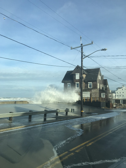
- Splashover
- Damaged stairs/walkovers
- Leaning bulkheads/seawalls
- Undermined bulkheads/seawalls
Natural Resources
Specific Impacts:
- Eroded beach
- Eroded dune
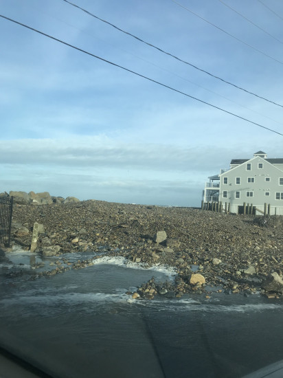
- Overwashed beach/dune
Current Response
Response:
- Utility repair
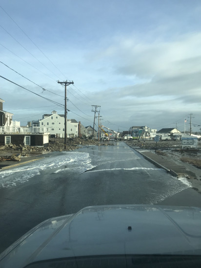
- Road clearing
You must be logged in to post a comment.
"Ocean Street, Brant Rock"