Roads
Street/Road: Unspecified
Marinas and Harbors
Buildings
Hazardous Materials
Beach
State: Accessible
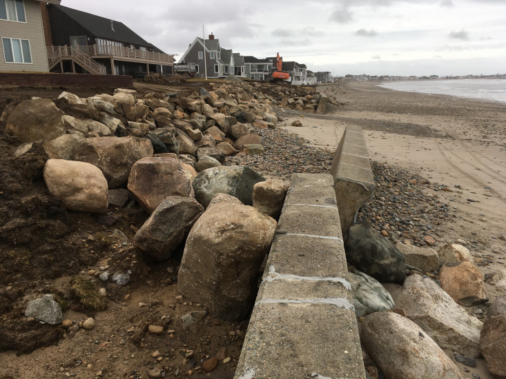
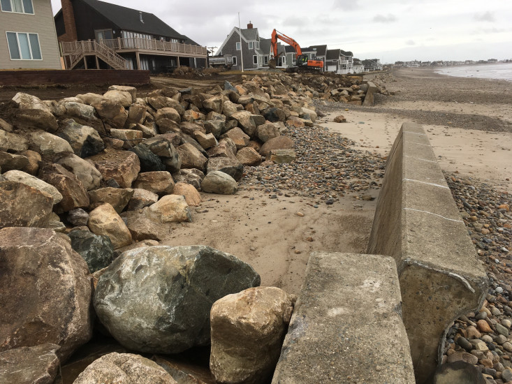
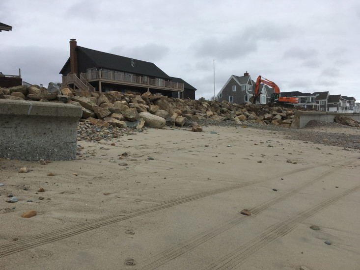
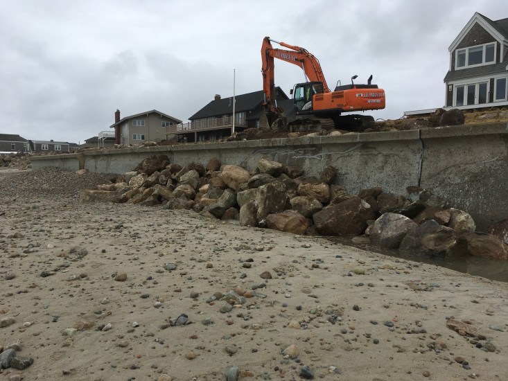
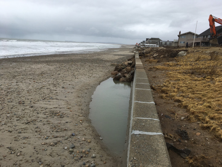
Coastal Structures
Specific Impacts:
- Leaning bulkheads/seawalls
- Undermined bulkheads/seawalls
- Collapsed bulkheads/seawalls
Comments: A revetment has been constructed where seawall failed. Stone being placed in front of seawall
Natural Resources
Current Response
Response:
- Other
You must be logged in to post a comment.