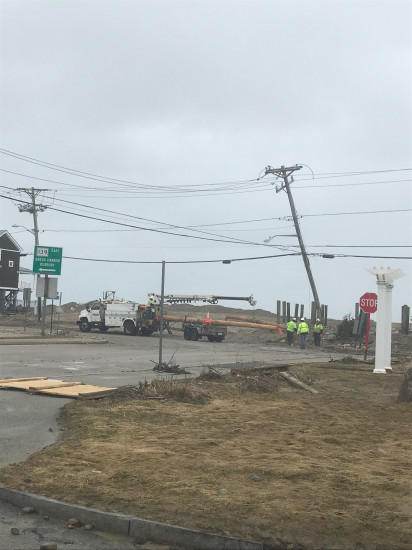
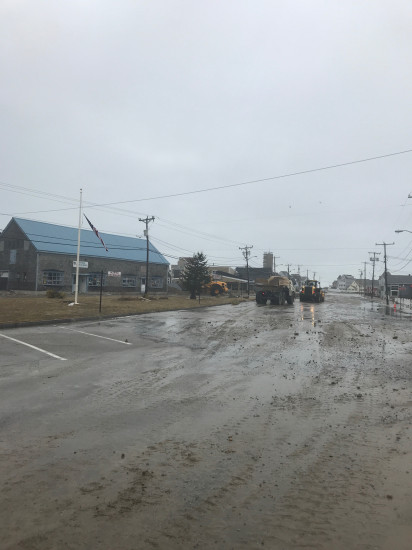
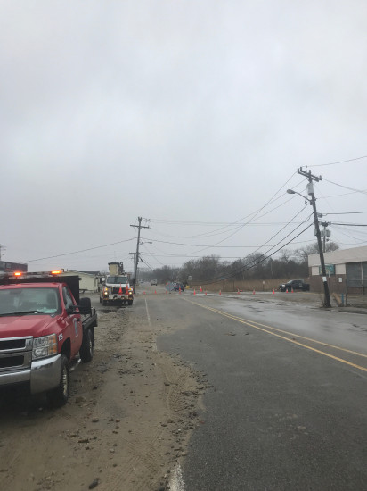
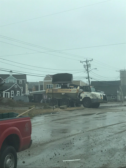
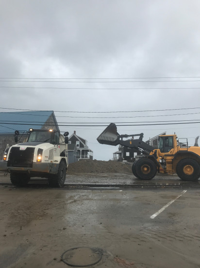
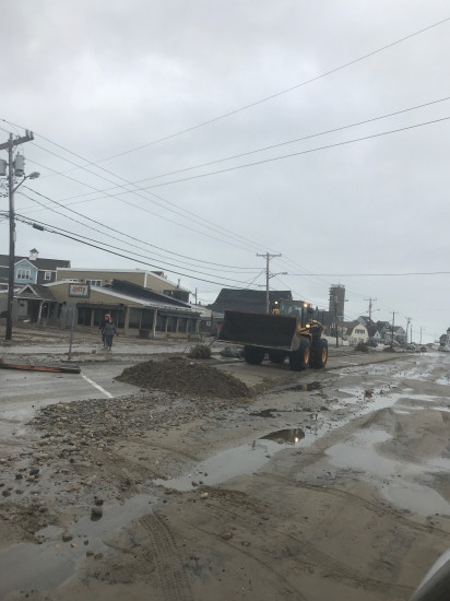
Marshfield, MA (Brant Rock)

Plymouth County

Impacts Reported


Roads

Street/Road: Unspecified

Specific Impacts:

  • Splashover
  • Impacted, but passable

Comments: Moving overwash sediments away

Marinas and Harbors
Buildings
Hazardous Materials
Beach

State: Accessible

Coastal Structures
Natural Resources
Current Response

Response:

  • Road clearing


03/04/2018 | 9:13 am

Tidal Overview

3 hours 48 minutes before high tide

Data from Brant Rock, Green Harbor River (0.6 miles away)

High Tide (Predicted): 1:01 pm, 10.6'

Observed Predicted water level Report time

Weather Overview

Wind Speed: 14.1 MPH

Wind Direction: N (10°)

Temperature: 39℉

Rainfall (Calendar Day): 0"

Rainfall (Past 24 Hours): 0.01"

(Click here for full weather details)


You must be logged in to post a comment.