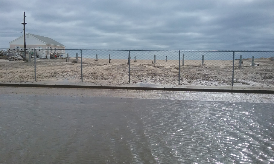
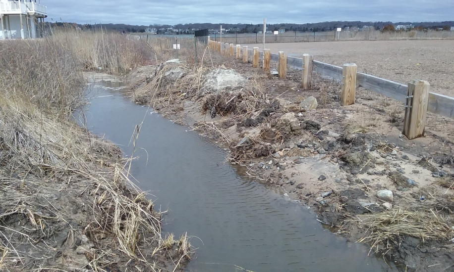
Atlantic Ave
Westerly, RI
Storm Reporter Report
by Janet Freedman
03/05/2018 | 12:12 pm
Damage Reported
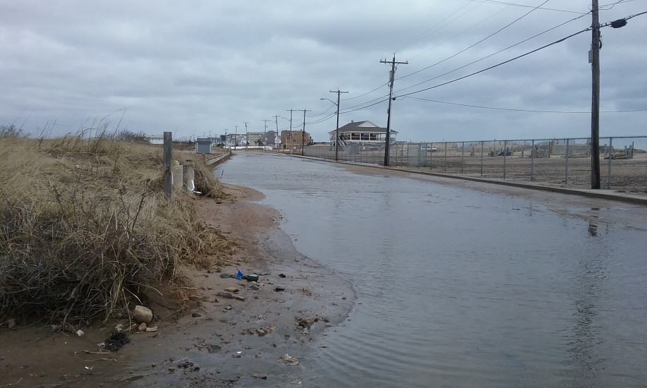
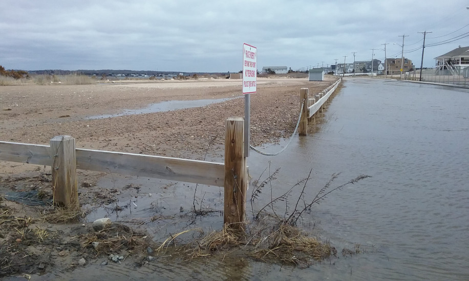
Roads
Street/Road: Unspecified
Specific Damage:
- Impassable (flood water)
Marinas and Harbors
Buildings
Hazardous Materials
Beach
State: Accessible
Coastal Structures
Natural Resources
Specific Damage:
- Overwashed beach/dune
Comments: conduit to Winnapaug Pond contributes to tidal flooding
Current Response
You must be logged in to post a comment.