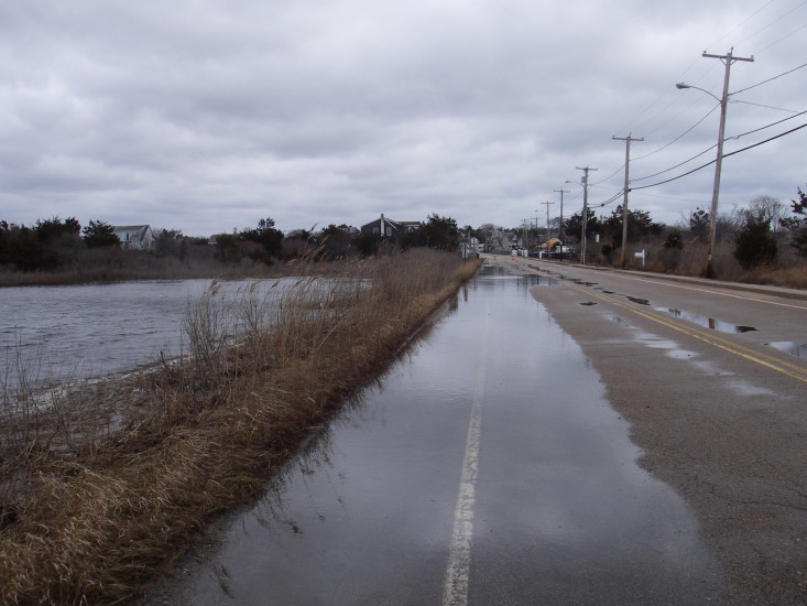
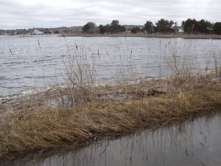
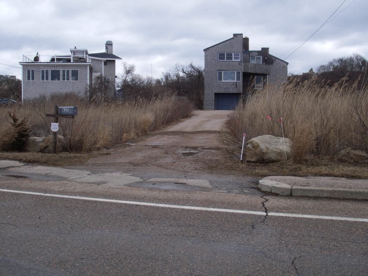
Atlantic Ave
Westerly, RI
Storm Reporter Report
by Janet Freedman
03/05/2018 | 12:22 pm
Damage Reported
Roads
Street/Road: Unspecified
Specific Damage:
- Impacted, but passable
Comments: Wrack line from previous flooding visible in driveway on south side of Atlantic Ave.
Marinas and Harbors
Buildings
Hazardous Materials
Beach
State: Accessible
Coastal Structures
Natural Resources
Current Response
You must be logged in to post a comment.