Marshfield, MA (Foster Ave at 3rd st)
Plymouth County
Storm Report
03/03/2018 | 6:32 am
Impacts Reported
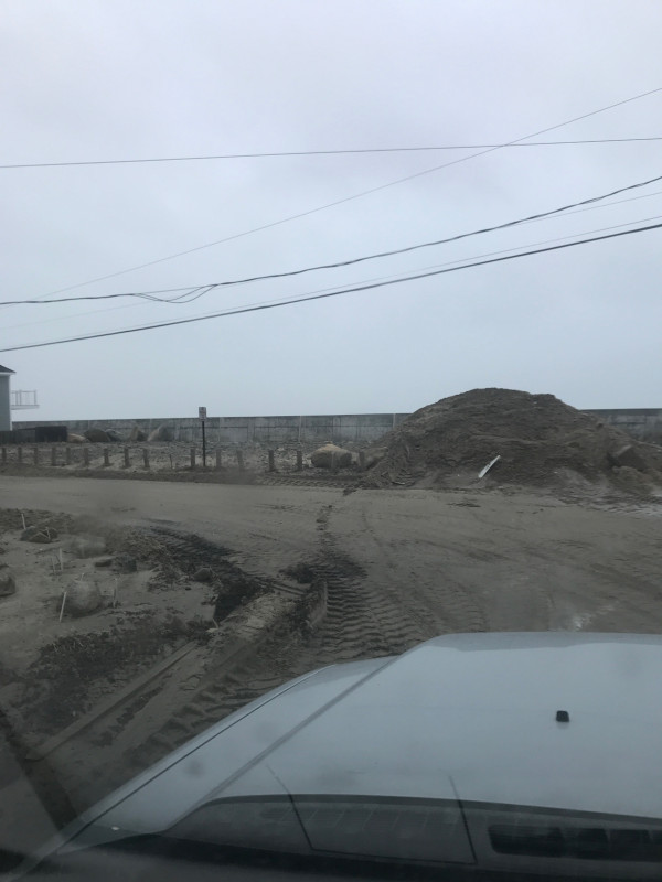
Roads
Street/Road: Unspecified
Specific Impacts:
- Impacted, but passable
Comments: Heavy sand in road being cleared and stockpiled
Marinas and Harbors
Buildings
Specific Impacts:
- Damaged stairs/decks
- Damaged windows/sidings
- Damaged walls/roofs
Hazardous Materials
Beach
State: Accessible
Coastal Structures
Specific Impacts:
- Splashover
Natural Resources
Current Response
Response:
- Road clearing
You must be logged in to post a comment.