Marshfield, MA (Central st Brant Rock)
Plymouth County
Storm Report
03/02/2018 | 2:28 pm
Impacts Reported
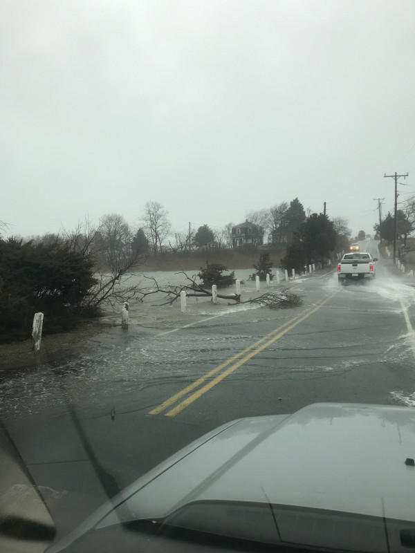
Roads
Street/Road: Unspecified
Specific Impacts:
- Impacted, but passable
Marinas and Harbors
Buildings
Hazardous Materials
Beach
State: Accessible
Coastal Structures
Natural Resources
Current Response
You must be logged in to post a comment.