Marblehead, MA (Beacon street Marblehead)
Essex County
Storm Report
03/03/2018 | 1:21 pm
Impacts Reported
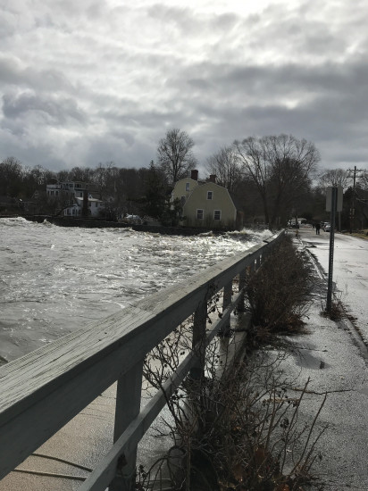
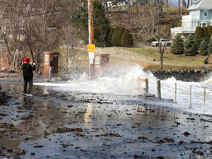
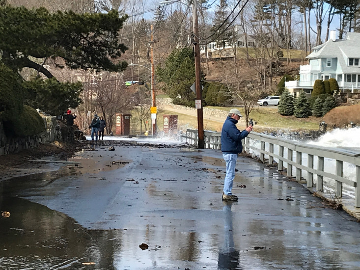
Roads
Street/Road: Unspecified
Specific Impacts:
- Impassable (flood water)
- Impassable (overwash)
Comments: Road closed next to grace Oliver’s beach
Marinas and Harbors
Buildings
Hazardous Materials
Beach
State: Inaccessible
Coastal Structures
Specific Impacts:
- Splashover
Comments: Hard to tell what damage to seawall but getting hit by waves
Natural Resources
Specific Impacts:
- Eroded beach
- Eroded dune
Comments: Can’t yet tell extent bc covered with water
Current Response
Response:
- Other
Specific response: Road closed
You must be logged in to post a comment.