Roads
Street/Road: Unspecified
Marinas and Harbors
Buildings
Specific Impacts:
- Water flow around or under buildings
Hazardous Materials
Beach
State: Accessible
Coastal Structures
Natural Resources
Current Response
Response:
- Other
Specific response: sand bags
You must be logged in to post a comment.
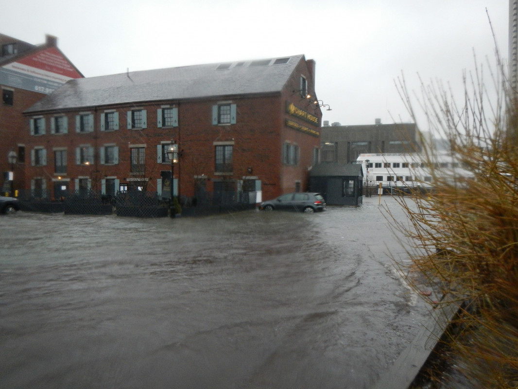
"Chart House building. 42 degrees 21.6240'N, 71 degrees 2.9925'W. Sand bags observed around building perimeter of adjoining Custom House block."