Roads
Street/Road: Unspecified
Marinas and Harbors
Buildings
Hazardous Materials
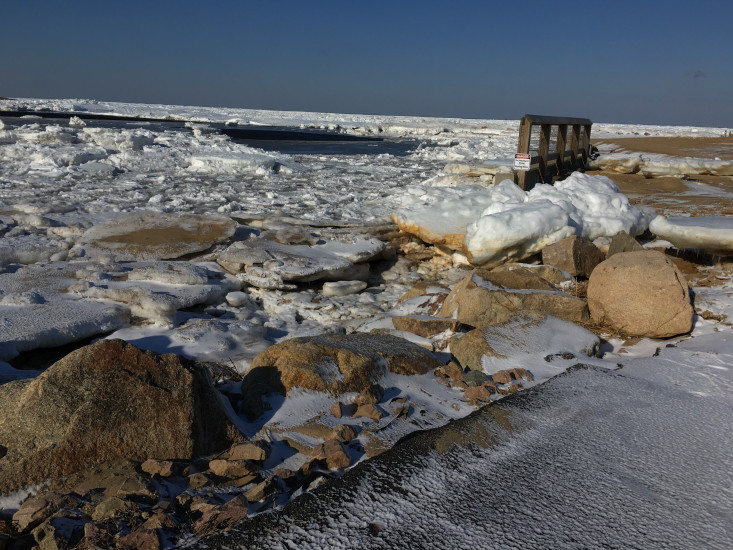
Beach
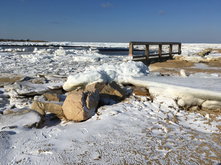
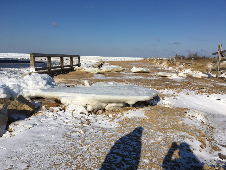
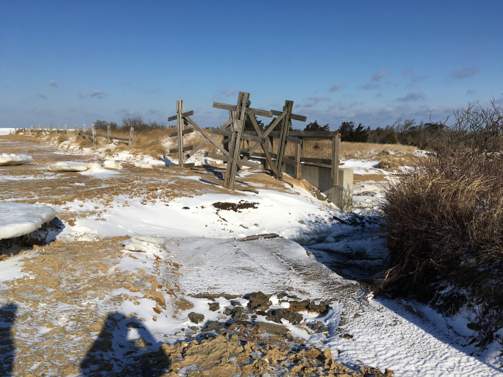
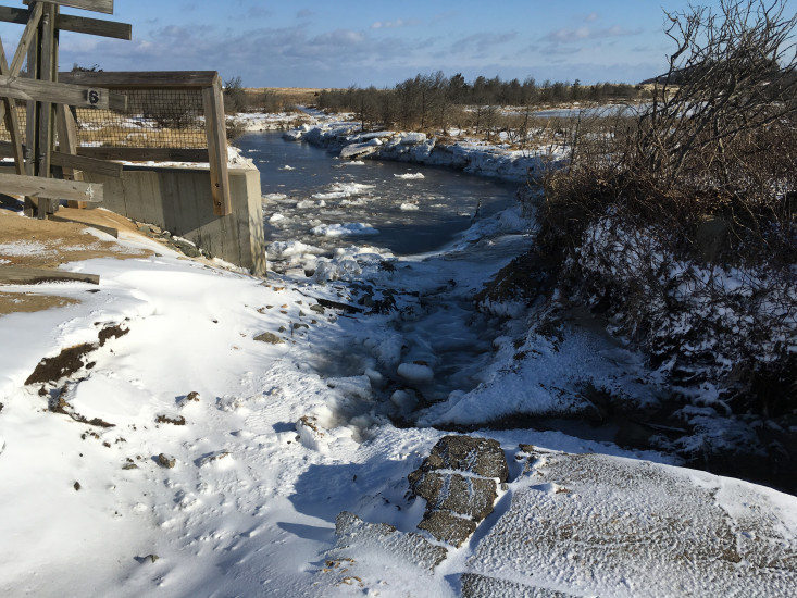
State: Damaged foot/bike path
Comments: Culvert was bypassed causing some erosion on beach access; culvert was installed in 2013 and didn’t function properly for storm. Probably got blocked by ice
Coastal Structures
Natural Resources
Specific Impacts:
- Overwashed beach/dune
Comments: Culvert was bypassed causing some erosion on beach access; culvert was installed in 2013 and didn’t function properly for storm. Probably got blocked by ice
Current Response
Response:
- None
You must be logged in to post a comment.