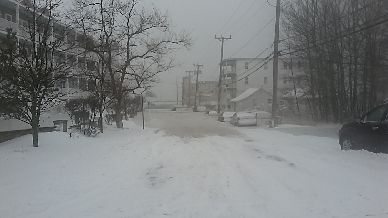
Hull, MA (From Park Ave looking at Nantasket Ave, Hull, MA)
Plymouth County
Storm Report
01/04/2018 | 12:47 pm
Impacts Reported
Roads
Street/Road: Unspecified
Specific Impacts:
- Impassable (flood water)
Comments: Entry into Hull is not available at this time. Nantasket Ave is closed along the DCR stretch. Overwash and some basement flooding reported for lower Beach Ave
Marinas and Harbors
Buildings
Hazardous Materials
Beach
State: Inaccessible
Coastal Structures
Natural Resources
Current Response
You must be logged in to post a comment.