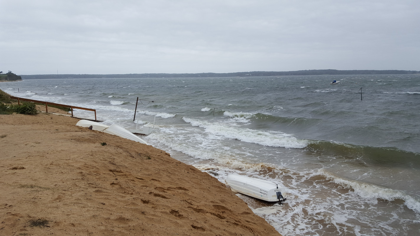
Chatham, MA (Strong Island Landing)
Barnstable County
Storm Report
09/21/2017 | 2:53 pm
Impacts Reported
Roads
Street/Road: Unspecified
Marinas and Harbors
Buildings
Hazardous Materials
Beach
State: Accessible
Coastal Structures
Natural Resources
Specific Impacts:
- Eroded beach
- Eroded dune
Comments: Minor erosion from elevated water levels and some wave action at 9/21 afternoon high tide.
Current Response
Response:
- None
You must be logged in to post a comment.
"Some minor erosion, not severe."