Roads
Street/Road: Unspecified
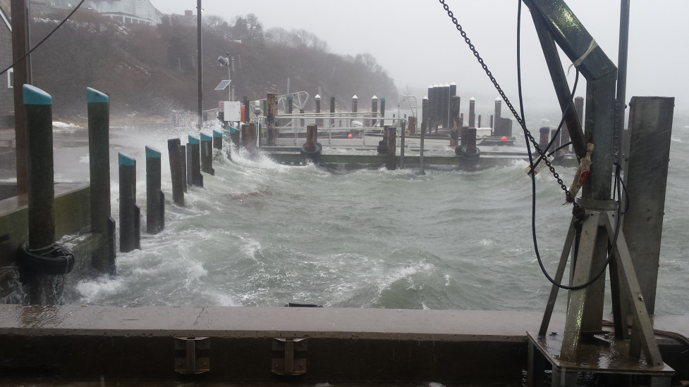
Marinas and Harbors
Specific Impacts:
- Displaced floats
Displaced floats: 5 floats
Comments: Minor damage to timber floats used for dinghy tie-up. Some damage to water/electrical conduits running along bulkhead.
Buildings
Hazardous Materials
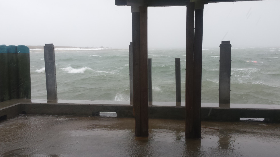
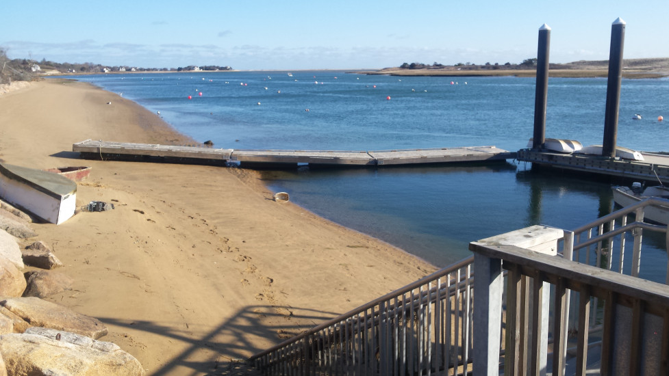
Beach
State: Accessible
Coastal Structures
Natural Resources
Specific Impacts:
- Damaged sand fencing
- Eroded beach
- Eroded dune
- Eroded bank/bluff
Comments: Minor erosion/scarping of beach, dune, banks during height of the high tide on 3/14/17. Surge not as high as other storm events but wind direction at the time was straight east causing heightened wave action inside Chatham Harbor.
Current Response
Response:
- Utility repair
You must be logged in to post a comment.