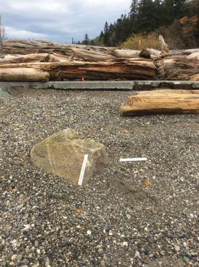
Report type: Pre-storm
Debris seen:
- Coarse gravel
- Medium sand
Other debris: Logs
Measurement represents:
- Erosion: often in the form of scarps, slumps, vegetation line retreat, bluffs slides, etc.
Wave height: 1ft
Stake number: 2
Stake Photo
Latitude: 48.1347353524
Longitude: -122.367910249
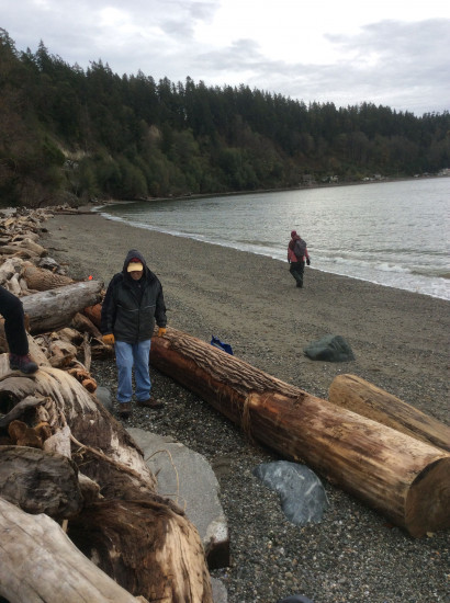
From Vantage Point
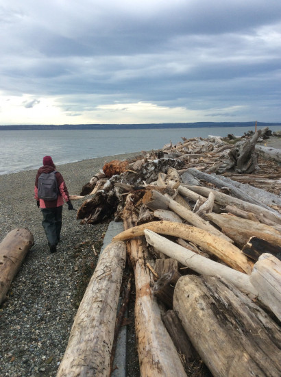
Latitude: 48.1347734062
Longitude: -122.367868172
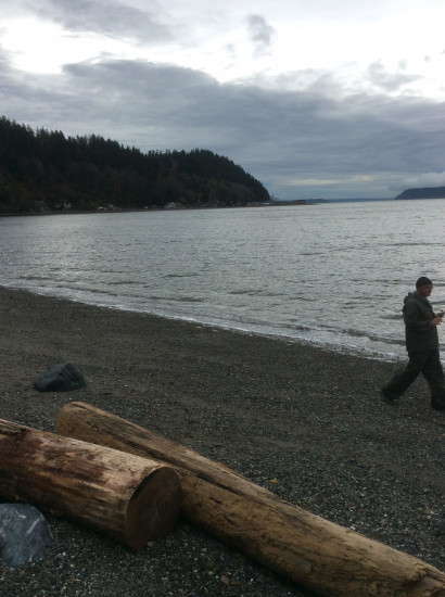
Beach Profile #1
Latitude: 48.1347461651
Longitude: -122.367925756
Taken from: East
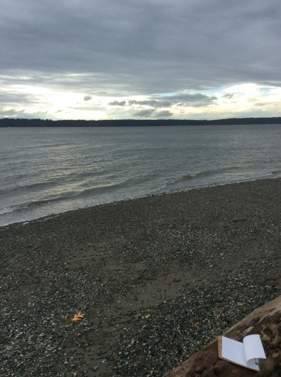
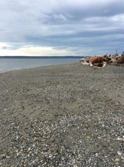
Beach Profile #2
Latitude: 48.1347461651
Longitude: -122.367925756
Taken from: West
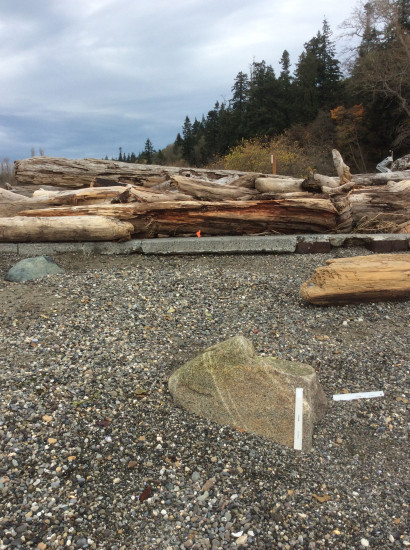
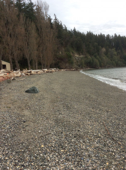
Reference Feature
Latitude: 48.1347461651
Longitude: -122.367925756
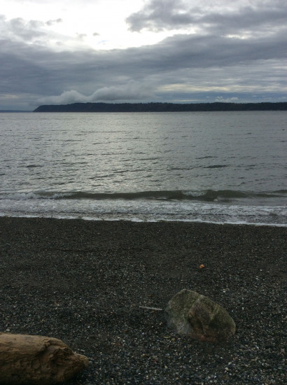
Substrate
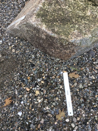
Latitude: 48.1347461651
Longitude: -122.367925756
You must be logged in to post a comment.
"Windy over here."