Roads
Street/Road: Unspecified
Marinas and Harbors
Buildings
Hazardous Materials
Beach
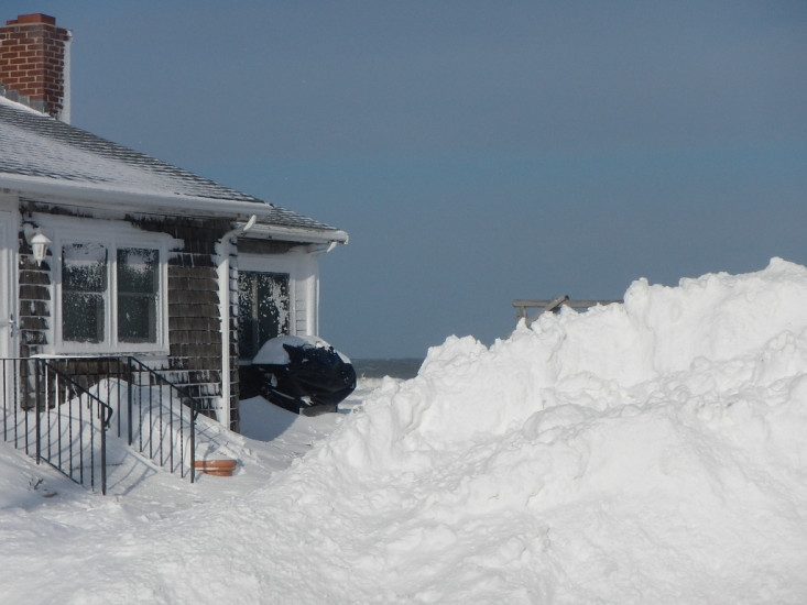
State: Inaccessible
Comments: Snow
Coastal Structures
Specific Impacts:
- Undermined bulkheads/seawalls
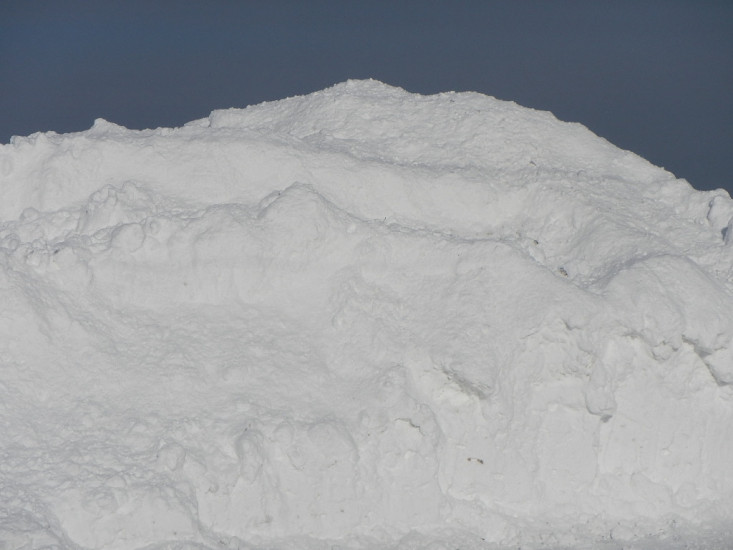
Comments: Could not access the damaged revetments due to snow pile
Natural Resources
Current Response
You must be logged in to post a comment.
"End of Atlantic Avenue off Standish."