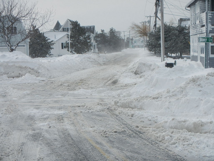
Roads
Street/Road: Unspecified
Specific Impacts:
- Impacted, but passable
Comments: Slush in road more from marsh than seawall. Large sand bags placed at breach of seawall appears to be holing up well. Roadway narrowed due to snow banks.
Marinas and Harbors
Buildings
Hazardous Materials
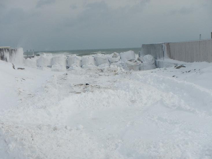
Beach
State: Inaccessible
Comments: Snow banks
Coastal Structures
Natural Resources
Current Response
You must be logged in to post a comment.
"44-60 Bay Avenue, Marshfield"