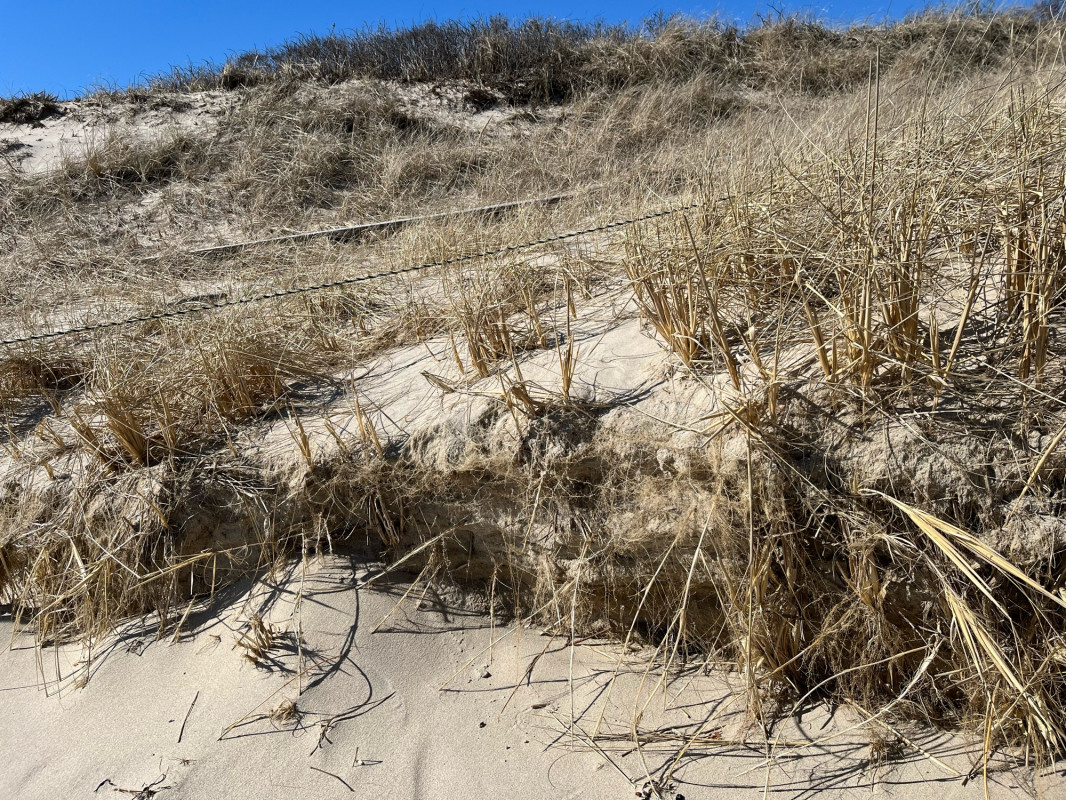
Photo description: Grass roots stabilizing dune.
Coastal resources in/directly adjacent to project footprint:
- beach (sandy)
- dune
Project elevation:
- above mean high water (MHW)
Coastal infrastructure present at site:
- other
Type of other obstruction: Posts and rope to keep people off dune.
Site stability:
- stable
Vegetative cover of project area:
- moderate (25-75%)
Dominant vegetative type within project area: grasses
Displaced/unanchored and degraded project materials:
- none
Human impacts at project site:
- foot traffic
- vehicles
You must be logged in to post a comment.
"Pam, did this work?"