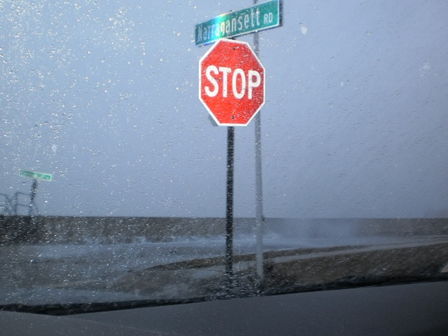
Quincy, MA

Norfolk County

Impacts Reported


Roads

Street/Road: Unspecified

Specific Impacts:

  • Splashover
  • Impacted, but passable

Marinas and Harbors
Buildings
Hazardous Materials
Beach

State: Accessible

Coastal Structures

Specific Impacts:

  • Splashover

Natural Resources
Current Response

Response:

  • None


03/07/2013 | 7:30 am

Tidal Overview

0 hours 30 minutes after high tide

Data from BOSTON (7.5 miles away)

Water Level (at time of report): 7:30 am, 12.3'

High Tide (Predicted): 6:45 am, 10.1'

High Tide (Observed): 6:54 am, 12.6'

Observed Predicted water level Report time

Weather Overview

Wind Speed: 23.5 MPH

Wind Direction: NNE (15°)

Temperature: 32℉

Rainfall (Calendar Day): 0.01"

Rainfall (Past 24 Hours): 0.12"

(Click here for full weather details)


You must be logged in to post a comment.