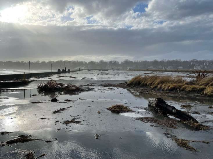
Roads
Street/Road: Unspecified
Specific Damage:
- Impassable (flood water)
- Impassable (overwash)
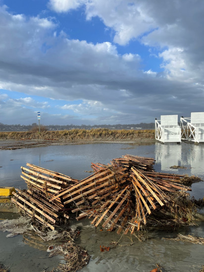
Marinas and Harbors
Buildings
Street: Memorial Blvd
Specific Damage:
- Water flow around or under buildings
Hazardous Materials
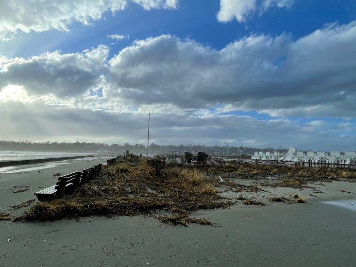
Beach
State: Inaccessible
Comments: Large sand displacement on boulevard, sidewalk, and street
Coastal Structures
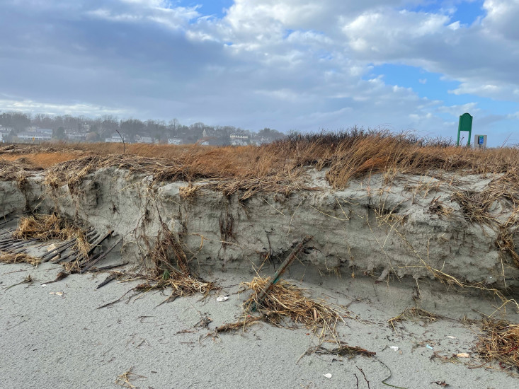
Natural Resources
Specific Damage:
- Damaged sand fencing
- Eroded beach
- Eroded dune
Current Response
You must be logged in to post a comment.