Storm Report
Springfield, MA
Impacts Reported
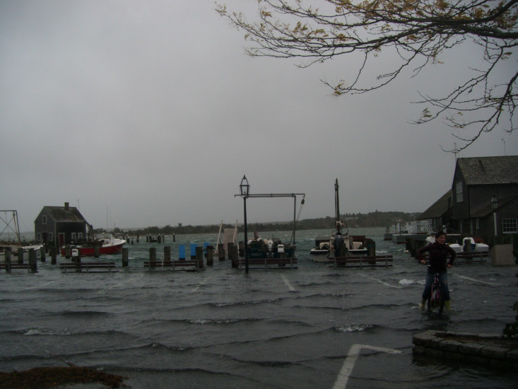
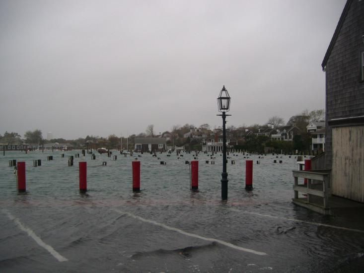
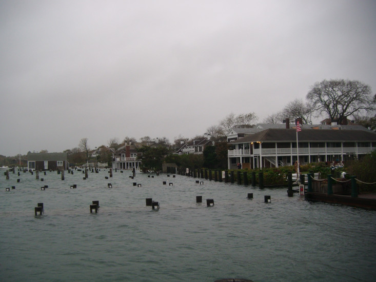
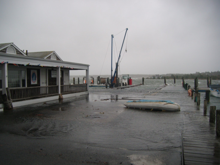
"flooding at dock street closed road for three tidal cycles. Piers under water more than during Halloween storm in 1991 during just this first high tide 41.389181-70.511855"
Impacts Reported
Roads
Specific Impacts:
- Impacted, but passable
Marinas and Harbors
Buildings
Hazardous Materials
Beach
State: Inaccessible
Coastal Structures
Specific Impacts:
- Splashover
Natural Resources
Current Response
10/29/2012 | 11:30 am
Tidal Overview
1 hours 24 minutes after high tide
Data from
NEW LONDON, State Pier (59.4 miles away)
Water Level (at time of report): 11:30 am, 5.7'
High Tide (Predicted): 9:35 am, 3.2'
High Tide (Observed): 10:06 am, 6'
■ Observed
■ Predicted water level
⬤ Report time
Weather Overview
Wind Speed: 19.4 MPH
Wind Direction: NE (42°)
Temperature: 57℉
Rainfall (Calendar Day): 0.57"
Rainfall (Past 24 Hours): 0.03"
You must be logged in to post a comment.