Roads
Street/Road: Unspecified
Specific Impacts:
- Impacted, but passable
Marinas and Harbors
Buildings
Hazardous Materials
Beach
State: Inaccessible
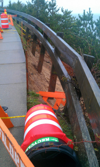
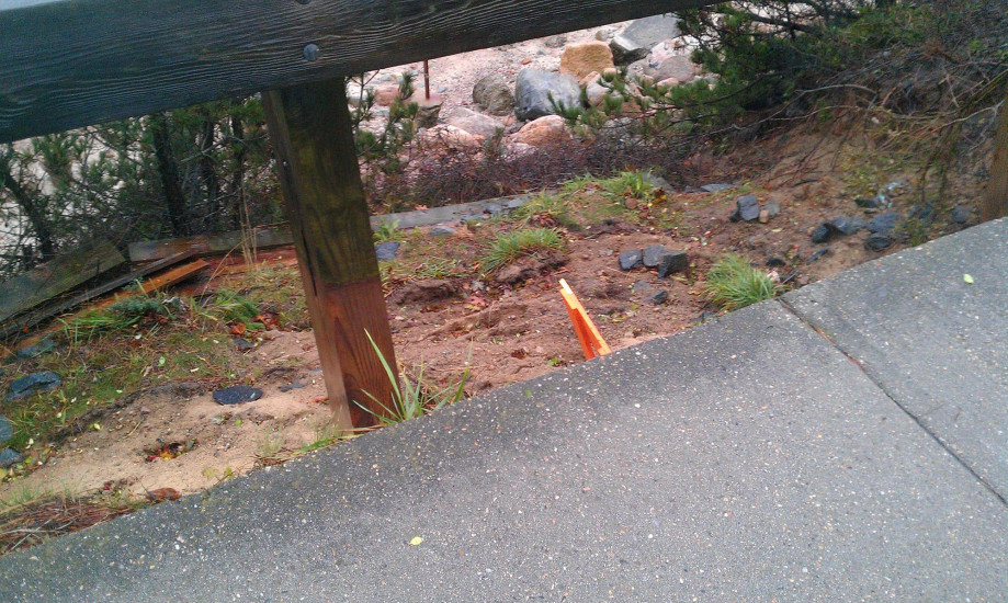
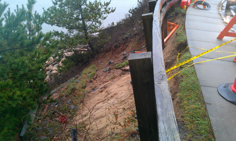
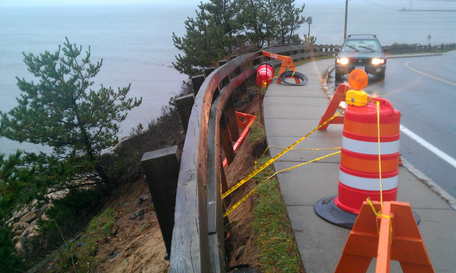
Coastal Structures
Specific Impacts:
- Leaning bulkheads/seawalls
- Undermined bulkheads/seawalls
Natural Resources
Current Response
Response:
- Other
Specific response: barricade
You must be logged in to post a comment.
"A portion of the Falmouth Heights cliff actually slumped because of Hurricane Sandy rains and some cliff base erosion. This caused the guard rail along the sidewalk to break away. Rain from the Nov7-8 nor'easter caused a slight additional amount of soil erosion down the hill. Noreaster winds also blew the barricade down the hill. The sidewalk is about 30 feet above sea level at this point. This will likely be an expensive site for Falmouth to repair."