Hull, MA

Plymouth County


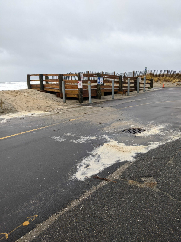
Coastal resources in/directly adjacent to project footprint:

  • dune

Project elevation:

  • above mean high water (MHW)

Coastal infrastructure present at site:

  • other

Type of other obstruction: Pedestrian walkway

Site stability:

  • stable

Vegetative cover of project area:

  • moderate (25-75%)

Dominant vegetative type within project area: grasses

Displaced/unanchored and degraded project materials:

  • none

Human impacts at project site:

  • runoff
  • foot traffic

Marine-related impacts:

  • marine debris


12/23/2022 | 10:51 am

Tidal Overview

0 hours 24 minutes after high tide

Data from BOSTON (10.9 miles away)

Water Level (at time of report): 10:51 am, 13.8'

High Tide (Predicted): 10:27 am, 11.6'

High Tide (Observed): 10:24 am, 14'

Observed Predicted water level Report time

Weather Overview

Wind Speed: 24.4 MPH

Wind Direction: SSE (152°)

Temperature: 56℉

Rainfall (Calendar Day): 0.018"

Rainfall (Past 24 Hours): 0.85"

(Click here for full weather details)


You must be logged in to post a comment.